By Katy Galimberti, AccuWeather.com Staff Writer
March 5,2015; 9:48PM,EST
As of 7:20 p.m. EST Wednesday, this blog is no longer active. Archived reports from the storm can be seen below.
A storm system continued to blast areas from Mississippi to New York with widespread snow and flooding rain through Thursday.
Government offices in Washington, D.C., were closed for Thursday as snow will continue to create dangerous travel conditions.
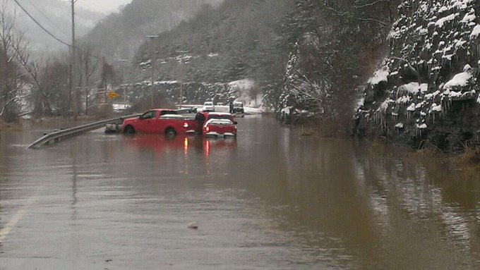
Tens of thousands across the country were left without power in the wake of the fierce storm as flooding reports continue to build across Kentucky, West Virginia and Pennsylvania.
At La Guardia airport, a snow covered runway and wintry conditions led to an aircraft skidding off the runway earlier in the day Thursday. The airport was closed, and minor injuries were reported.
For earlier reports, click here.

RELATED:
Heavy Snow to Bury Mid-Atlantic While Ice Impacts South Thursday
AccuWeather Winter Weather Center
Arctic Air to Make Brief Return to East, Midwest for Late Week
UPDATES: (All times are listed in EST)
6:45 p.m. EST Thursday:
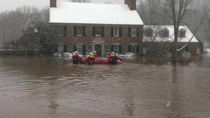
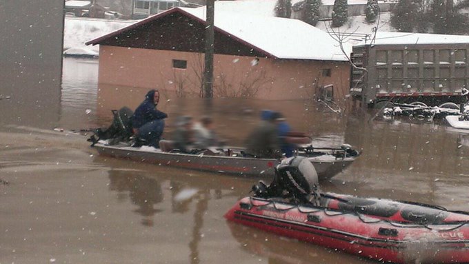
A few of our flood rescues today. Hats off to CRPD, CRFD, Pike Co. Tech. and Floyd Co. Rescue Squads! #KYWx #EKYWx
5:50 p.m. EST Thursday:
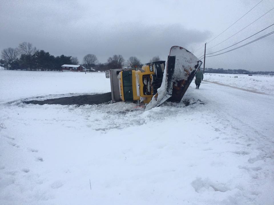
PennDot truck overturned in Ephrata at Lincoln Road. Driver taken to hospital with minor injuries. @BRCTV11
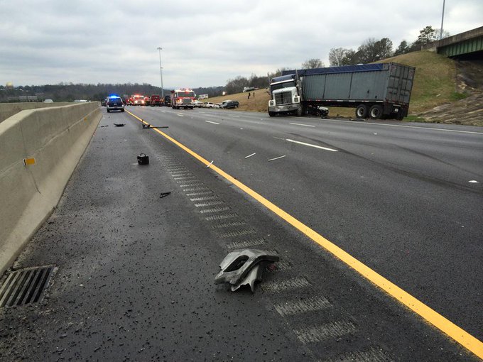
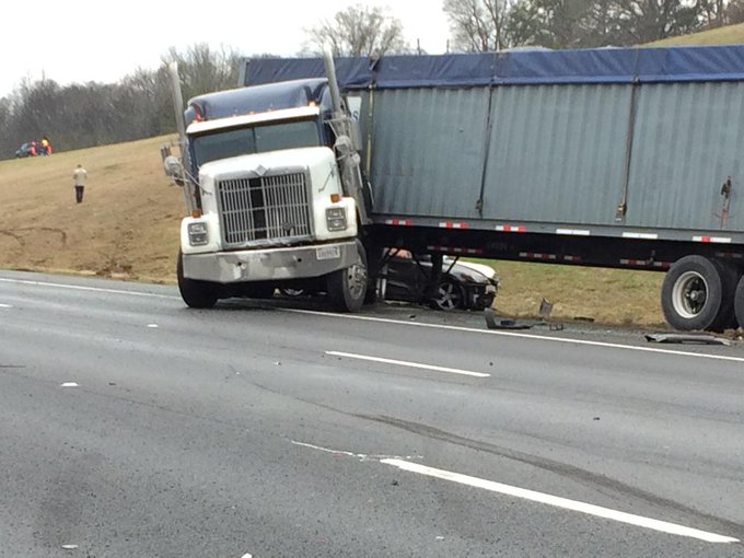
Jackknifed tractor trailer on northbound #I81 at MM200 in Rockbridge County. Cams show traffic moving on shoulder.
More than 43,600 FirstEnergy customers in West Virginia are currently without power, the utility reports.

3:06 p.m. EST Thursday:
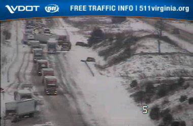
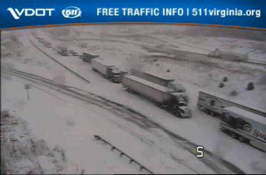
Traffic cam shows 2-mile backup from accident on northbound #I81 near MM203 in Rockbridge County. One lane is open.
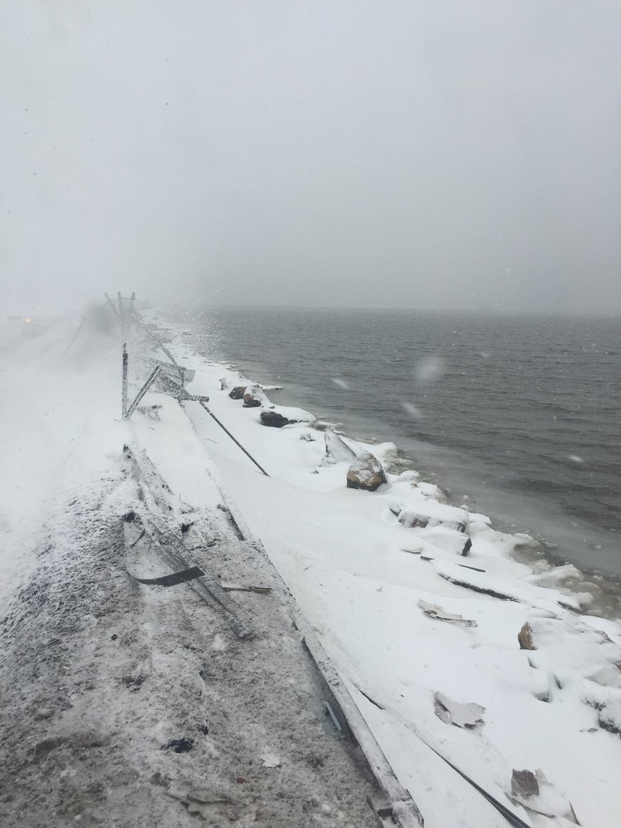
This is a pic from passenger Jared Faellaci from his seat on the @Delta plane. They were that close to Flushing Bay.
 (Twitter Photo/@NYPDSpecialops)
1:27 p.m. EST Thursday: At Newark and John F. Kennedy International Airports, inbound flight delays are more than three hours due to snow and ice. At Philadelphia International Airport, inbound flights are subject to delays up to two and a half hours according to the FAA.
1:16 p.m. EST Thursday:
Just measured 4.5 inches of fluffy snow in Bernardsville, NJ. W/ @WxDepo. @breakingweather @NWS_MountHolly
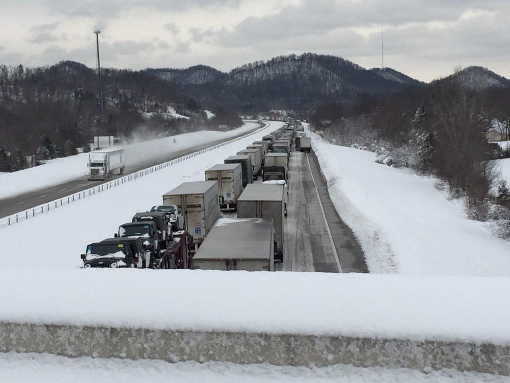
Here's another picture of I-65 south. This is a from an overpass about 6 miles north of Lebanon Junction @WDRBNews
12:25 p.m. EST Thursday:
 (Instagram Photo/Kristina Grossmann)
11:50 a.m. EST Thursday:
11:22 a.m. EST Thursday: As heavy snow fell to create low visibility at LaGuardia Airport in New York City, the Fire Department of New York reports that a plane skidded off a runway. A fuel leak was also reported.
11:16 a.m. EST Thursday:
10:27 a.m. EST Thursday: MonPower in West Virginia reports that 40,000 customers are still affected by outages. AEP Ohio reports that 19,000 are without power throughout the Buckeye State, with snow hindering restoration efforts in some areas.
10:09 a.m. EST Thursday: FlightStats reports that 2,460 flights have been canceled nationally so far on Thursday. An additional 1,121 flights have faced delays.
9:50 a.m. EST Thursday:
Trains in/out of New York are subject to delays of up to 20 minutes due to Amtrak overhead problems in #NYPenn
— NJ TRANSIT (@NJTRANSIT) March 5, 2015
"Two significant winter storms nearly back-to-back are rare in Kentucky, and pose a challenge for our emergency management teams, road crews and local emergency responders. This emergency declaration will allow us to deploy any needed state assistance, including National Guard troops if necessary, without delay," he said in a press release.
9:13 a.m. EST Thursday: With stranded motorists along I-65 in Hardin County, Kentucky, emergency management reports that crews are working as fast as possible to safely assist drivers and passengers.
"Tow trucks and snow plows are out, but also getting stuck as well," Hardin County Emergency Management said on their Facebook page.
8:51 a.m. EST Thursday: Kentucky Department of Transportation cameras show a line of cars stuck on I-65 northbound outside of Elizabethtown.

8:46 a.m. EST Thursday:
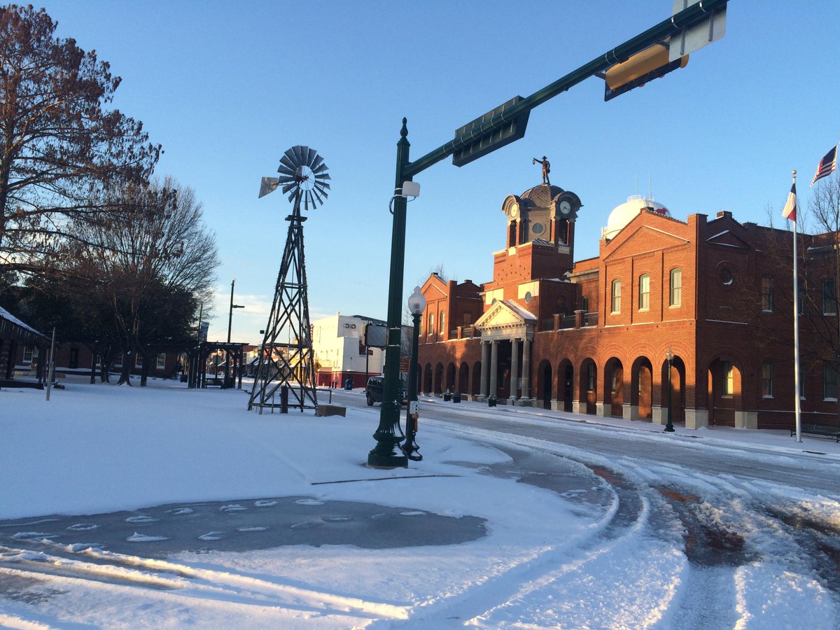
Snow blankets historic downtown @GrapevineTXCity in this shot from photographer Mike Kinney.
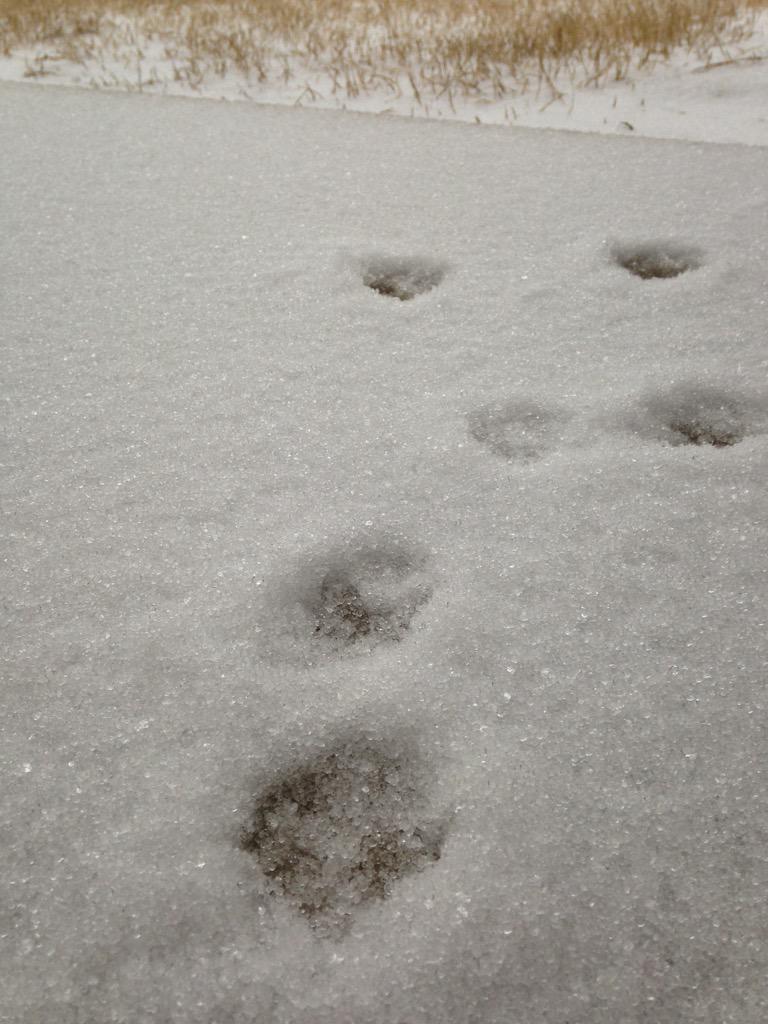
So many pics coming in of sleet accum! MT @jaredmill: Do you wanna build a #sleetman? Madison, AL
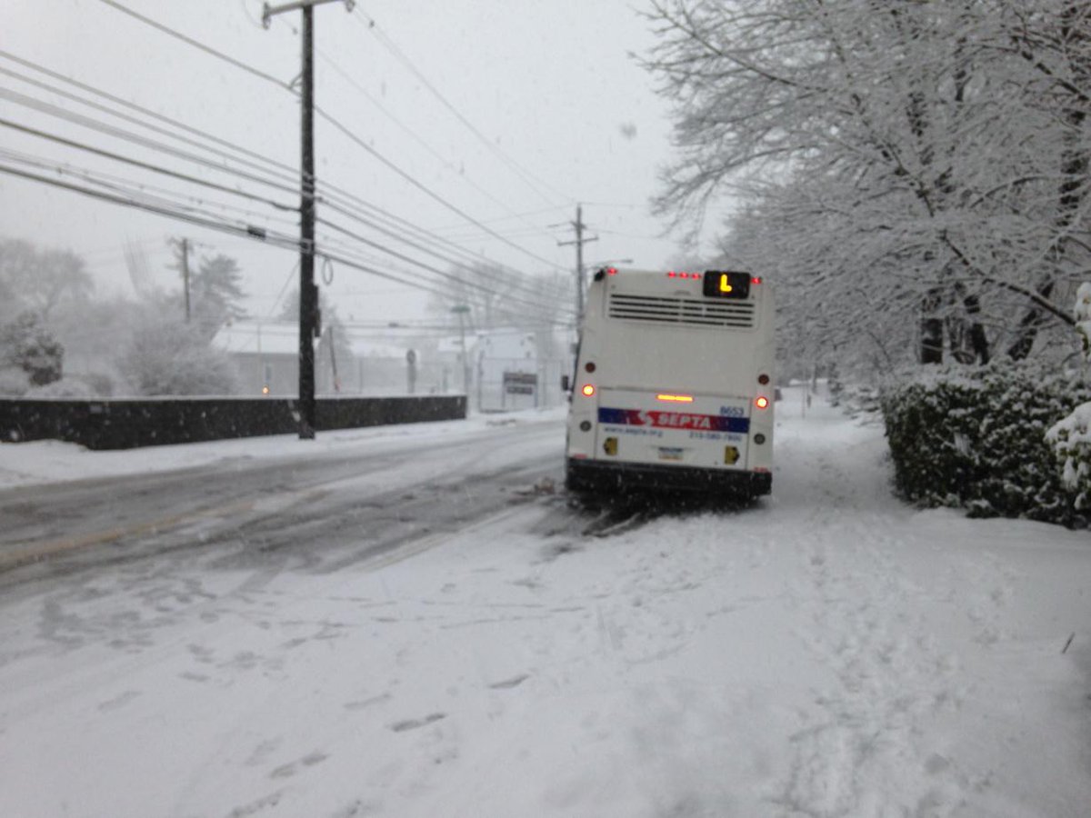
@SEPTA L bus stuck at Germantown near Bells Mills No one going up this hill. Drivers turning around. @KYWNewsradio
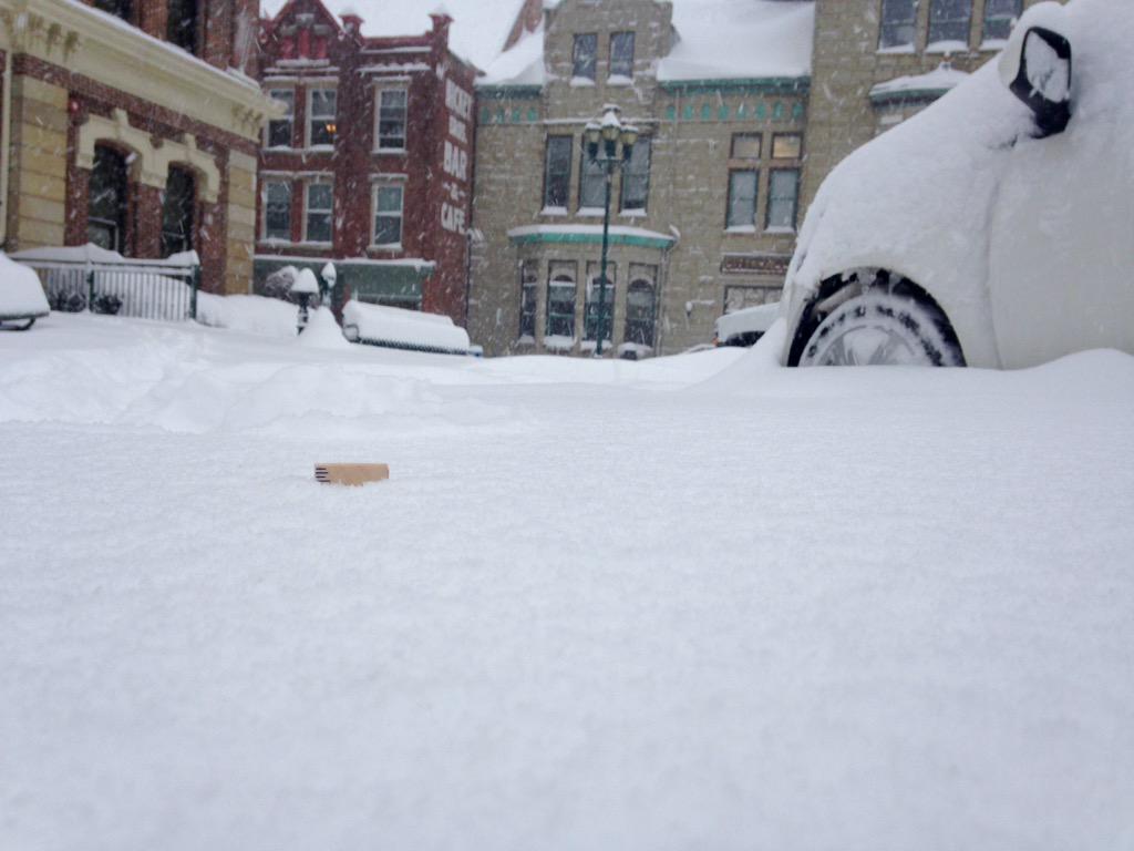
My ruler is pretty much gone in Georgetown and the snow is still coming down!! Yard stick anyone? #WKYTRulesWinter
8:01 a.m. EST Thursday: Ten inches of snow reported in Murray, Kentucky, so far this morning according to local emergency management.
7:55 a.m. EST Thursday: Ice creating dangerous travel in Mississippi:
7:26 a.m. EST Thursday: All of Shelby County, Tennessee, schools are closed as snow falls over the region. Germantown, Tennessee, just outside of Memphis, has recorded 3 inches of snow so far this morning.
 In Memphis, Tenn., snow continues to fall making for difficult and messy travel. (Instagram Photo/Siera Hill)
6:37 a.m. EST Thursday: Nine inches of snow reported in Christian County, Kentucky, early Thursday morning.
6:25 a.m. EST Thursday: Emergency management in Huntsville-Madison County, Alabama, warns of ice beginning to cover Highway 53 and other local roads.
6:03 a.m. EST Thursday:














No comments:
Post a Comment