Published: September 3, 2015
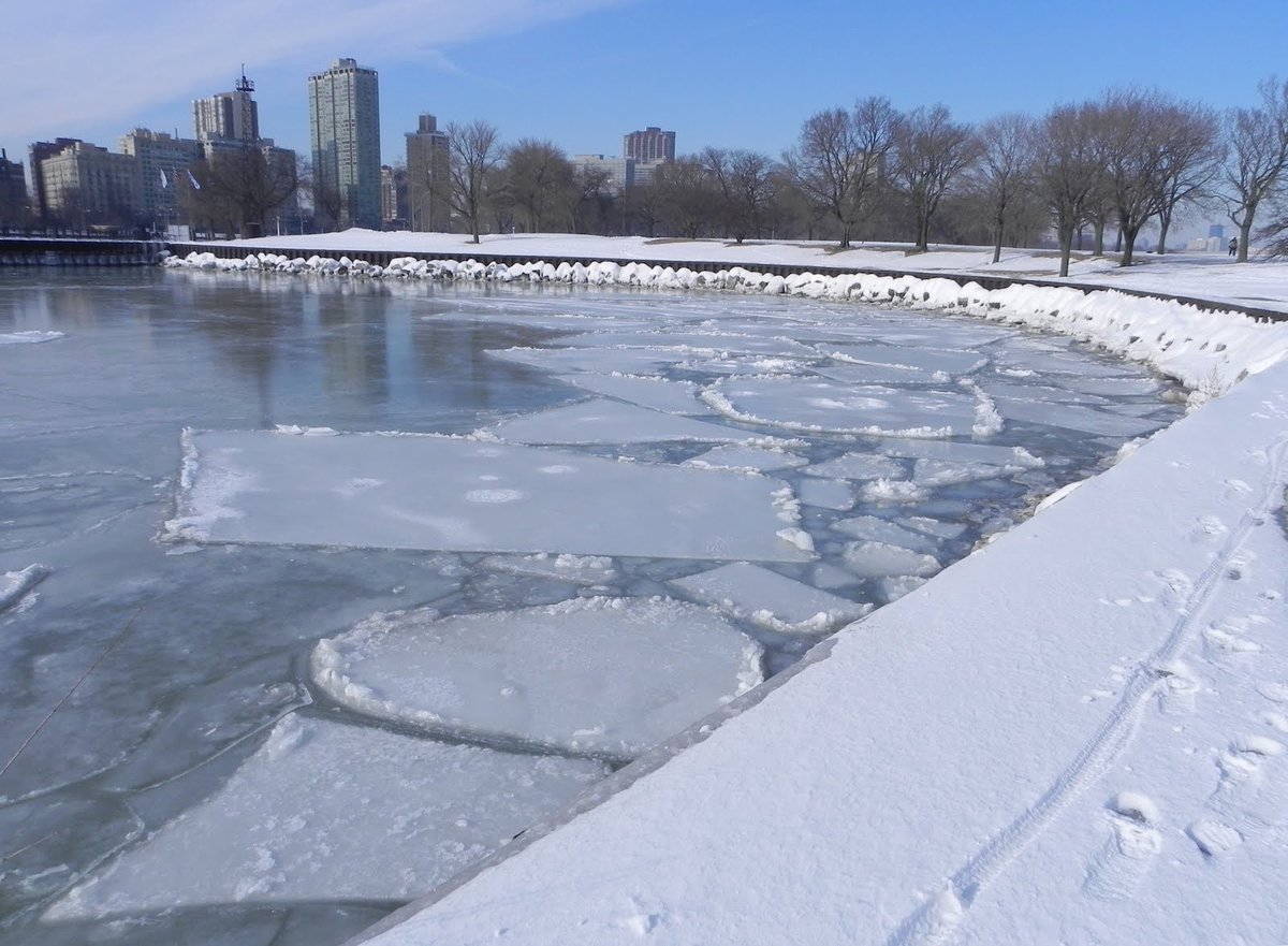
Ice lasted on the Great Lakes well into the spring this year and for the first time in back-to-back years since the 1970s, Great Lakes ice coverage exceeded 80 percent. The possibility of that happening again this winter is fairly slim, especially given the latest El Niño projections.
2015 =2nd straight year of 80+% ice cover. Great reminder of the power of seasonal variability http://bit.ly/1D2Dkzf
We have actually observed El Niño conditions since fall 2014, but the intensity of the El Niño has been steadily increasing since early this year. Not only is the intensity of El Niño forecast to increase into fall 2015, but El Niño could very well last into the beginning of 2016 as well.
The National Oceanic Atmospheric Administration (NOAA) projects a greater than 90 percent probability that El Niño will last through the upcoming winter. The probability of El Niño lasting into early spring of 2016 is 85 percent, NOAA said. There are also signs that there could be a record strong El Niño developing.
(MORE: Record Strong El Niño Ahead?)
The intensity of El Niño is what becomes really important when drawing links to weather conditions in the U.S. While weak El Niños have shown mixed results in actual air temperatures (near the ground) across the U.S., the correlation increases dramatically in stronger El Niño seasons.
 Model
forecasts of sea-surface temperature anomalies in the Niño 3.4 region
as of mid-Aug. 2015. The majority of models project a moderate to strong
El Niño trough the end of 2016. A number of solutions even forecast
this El Niño to top the modern record strength El Niño from 1997 (2.3
degrees Celsius anomaly).
Model
forecasts of sea-surface temperature anomalies in the Niño 3.4 region
as of mid-Aug. 2015. The majority of models project a moderate to strong
El Niño trough the end of 2016. A number of solutions even forecast
this El Niño to top the modern record strength El Niño from 1997 (2.3
degrees Celsius anomaly).(NSSL/ESRL)
In almost all of the top 10 strongest El Niños, or eight out of 10, the ice extent has been below the long-term average across the Great Lakes. In four of those eight seasons, the ice extent ranked among the absolute lowest on record. It seems fairly straight-forward that strong El Niño seasons typically result in warmer than average winters across the Great Lakes, effectively keeping ice levels well below average.
While there were two cases of above average Great Lakes ice extent among the top 10 strongest El Niños, it should be noted that in those seasons (1972-73 and 2002-03), it was weakening going into the winter months. With El Niño expected to be getting stronger in the coming months this year, it appears that the United States may feel direct impacts this upcoming winter.
How Does El Niño Affect Winter Snowfall?
Warmer temperatures and less ice do not necessarily mean that the Great Lakes area can expect below average snowfall this season. Tom Niziol, winter weather expert for The Weather Channel, explains that "just a few major lake effect snow events when there is a cold outbreak can skew an otherwise less snowy season to one that is above normal.”(MORE: Lake Effect Drops 88 Inches of Snow in Western New York)
Lake effect snow is the byproduct of cold air moving over warm water, creating an unstable atmosphere. Such an environment allows for air to rise, assisting in the formation of clouds and redistribution of moisture, often in the form of locally heavy snowfall during the cold season.
Having warmer lake temperatures and a water surface with less ice coverage could be favorable for significant snowfall. The caveat is that since strong El Niños tend to favor warmer air temperatures as well, it might not necessarily be cold enough for precipitation to always fall as snow. As Niziol said, all it takes is a lake effect event during a cold outbreak to result in locally hefty amounts of snowfall around the Great Lakes.
Bottom line, predicting the affect of El Niño on snowfall is tricky, but it is much easier to draw a fairly direct link between a lack of ice extent on the Great Lakes and strong El Niño winters. Assuming the NOAA El Niño projections are correct, the Great Lakes could very well see below average ice extent this winter.


No comments:
Post a Comment