By Mark Leberfinger, AccuWeather.com Staff Writer
March 4,2015; 11:16PM,EST
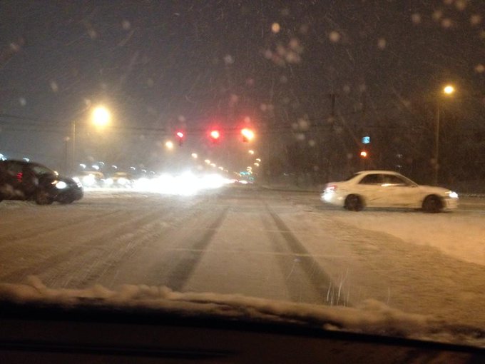
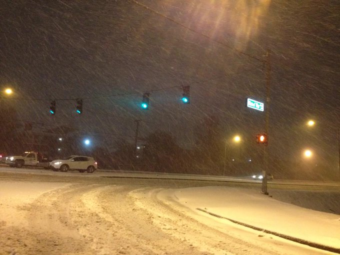
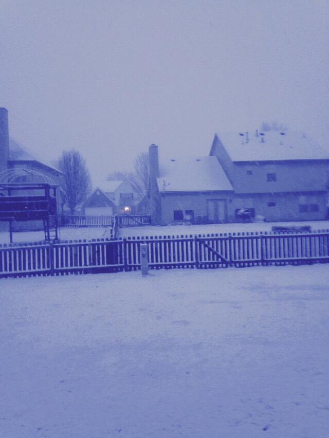
A storm system will continue to blast areas from Texas to New York with widespread snow and flooding rain through the night and into Thursday morning.
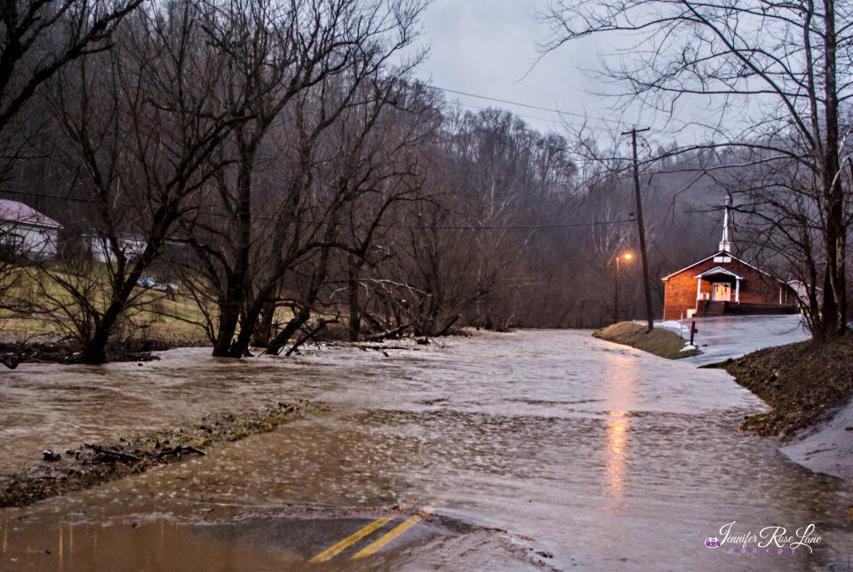
Flooding has been reported as homes were evacuated and roadways were closed in Kentucky, West Virginia and into Pennsylvania.
"A wide-reaching winter storm will stretch from Texas to New York Wednesday night and unleash heavy snow, ice and flooding rain along its path," AccuWeather.com Meteorologist Andy Mussoline said.
Rain will change to snow in the Interstate 95 corridor from New York City to Washington D.C., setting up a slippery and slow morning rush on Thursday.
For earlier reports click here.

RELATED:
Oklahoma City to Boston: Snow, Ice to Snarl Travel for 1,500-Mile Corridor Into Thursday
AccuWeather Winter Weather Center
Arctic Air to Make Brief Return to East, Midwest for Late Week
UPDATES: (All times are listed in EST)
11:02 p.m. EST:
BhamCitySchools @BhamCitySchools Follow
Birmingham City Schools will be closed on Thursday, March 5. #Alwx #inclementweather
10:51 p.m. EST: Schools in Arlington and Fort Worth, Texas, closed on Thursday, district officials said.
DRPA @DRPA_PAandNJ Follow
Speeds on all #DRPA bridges are reduced to 35 mph due to weather conditions ^w

10:11 p.m. EST: Indiana state snowplow involved in a two-vehicle crash, Indiana State Police report.
KY State Police @kystatepolice Follow
TRAFFIC ALERT: I-64 EB in Bath Co at MM 119 is closed due to a semi truck crash. Both lanes are impacted and closed.
9:45 p.m. EST:
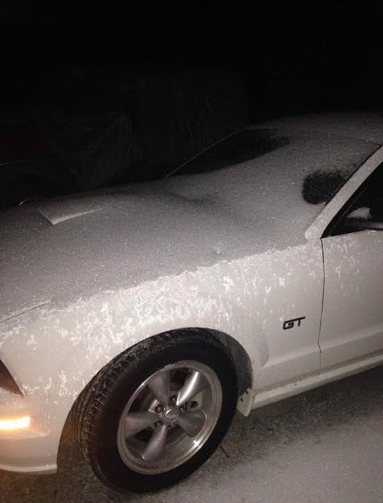
Photo from Leatha McCrosky in Martin showing how much sleet has fallen already. Still sleeting. #tnwx
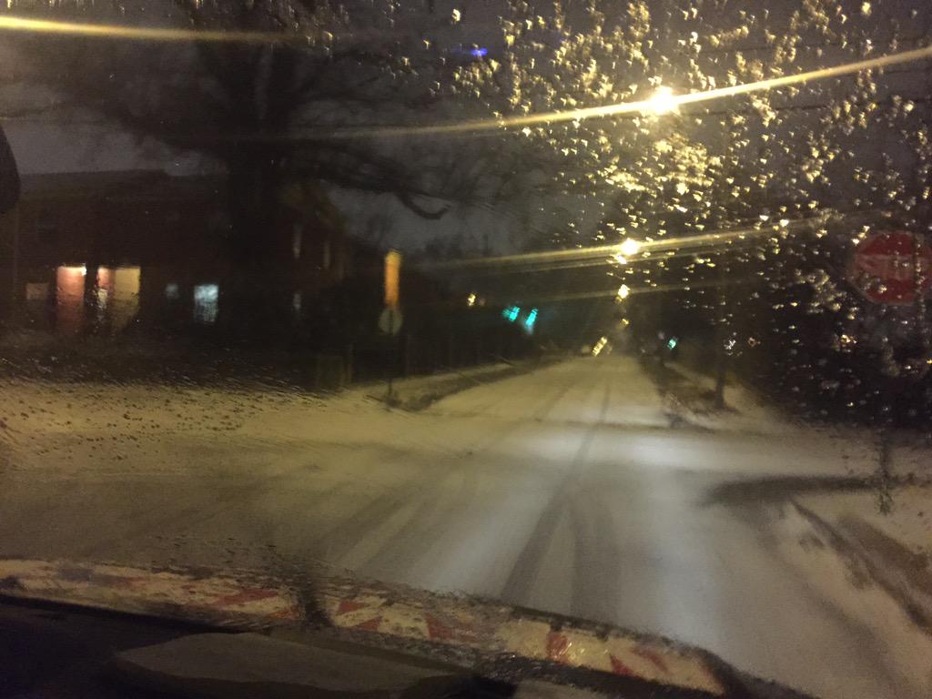
In the last hour, the roads took a turn for the worse in Midtown and downtown. Be careful folks! @3onyourside #memice
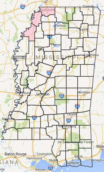
View an updated list of affected counties here: http://ow.ly/JWOo5 Blue = ice on bridges; pink = ice on roads.
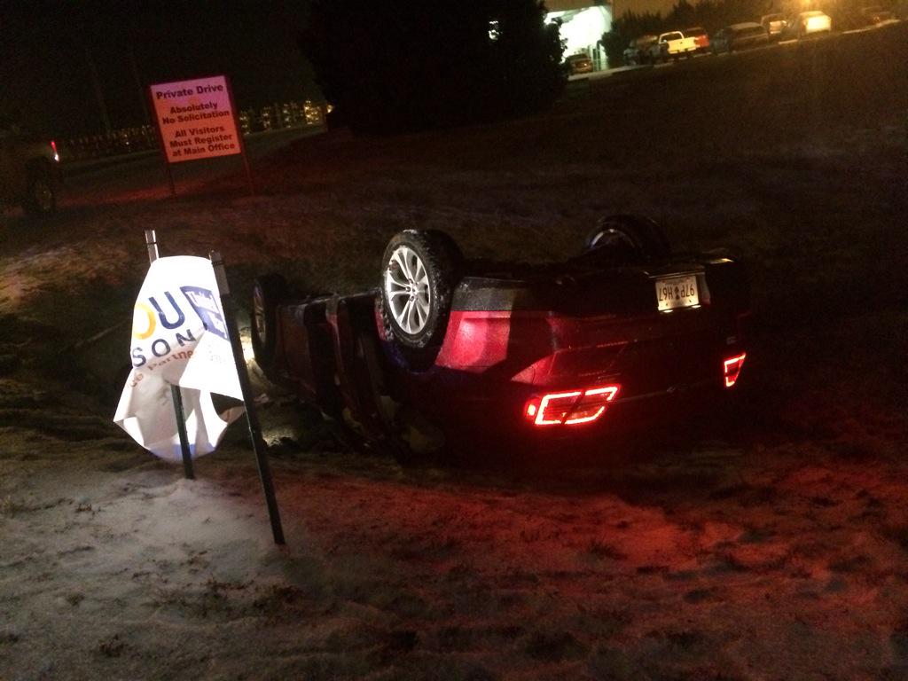
MT @TaliaKaplan: We came across this car in Clarksville-- wx related crash on International blvd. @WKRN

7:55 p.m. EST:
Just started here in South Madison County. All sleet. @NWSMemphis @WBBJ7TomMeiners #tnwx
Taken in dark w/ #nexus6
New Jersey Governor Chris Christie declared a State of Emergency ahead of the storm.
Snowing HARD in Midway, KY...looks like about 1"/hour... @NWSLouisville
Click here for more reports from today's storm.







No comments:
Post a Comment