By Brian Lada, Meteorologist
March 18,2015; 10:08PM,EDT
The Ohio and lower Mississippi rivers continue to run above flood stage in response to rain and melting snow in recent weeks.
Several storms have impacted this part of the country during the first half of March, including multiple rainstorms and a major snowstorm.
This influx of rainwater paired with melting snow has caused ice jams, and road closures have put lives and property at risk.
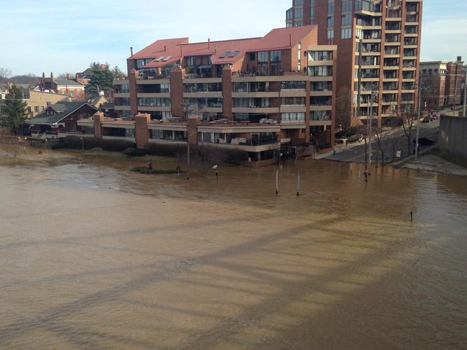
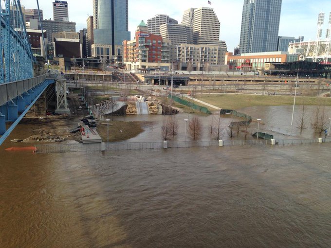
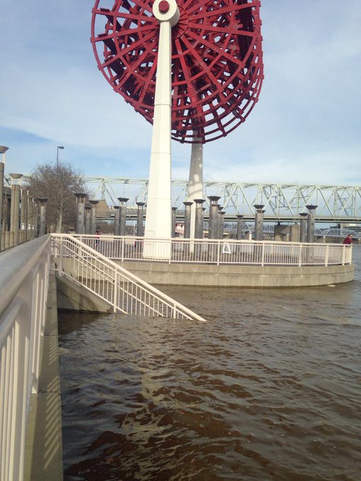
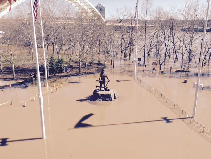
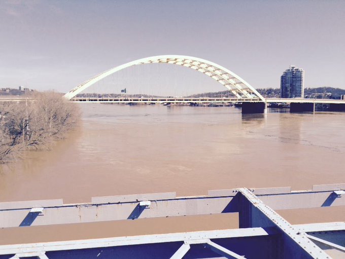
The Ohio River is one of the rivers in the region being most affected from the recent storms. On Sunday, the river crested in Cincinnati at its highest level since 1997.

Minor to moderate flooding will continue along the Ohio River for the rest of the week. Fortunately, the river has crested in most areas. While some additional rain will fall on the Ohio Basin during the latter part of the week, not enough will fall to prompt a significant secondary rise. However, the rain could slow the rate of recession of flood waters along some rivers in the basin.
| Paducah, Ky. | 7.95 |
| Lexington, Ky. | 6.95 |
| Louisville, Ky. | 6.89 |
| Morgantown, W.Va. | 5.48 |
| Huntington, W.Va. | 5.90 |
| Cincinnati | 5.25 |
| Nashville, Tenn. | 3.96 |
| Pittsburgh | 3.38 |
This means that roads that some roads will remain closed.
The progression of this water flowing downstream was spurring flooding in other areas.
"The lower Mississippi River will be on the rise this week as runoff from its swollen tributaries, including the Ohio River, drains downstream," said AccuWeather.com Senior Meteorologist Kristina Pydynowski.

To make matters worse in the lower Mississippi Valley, another storm system is expected to spread rain across the region this week.
Those across the lower Mississippi and Ohio river valleys should take precautions to stay protected from the flooding if they have not done so already.
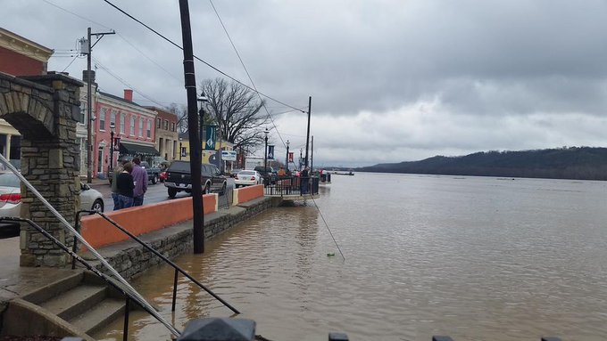
At least five homes have been flooded in the town of New Richmond, located southeast of Cincinnati, according to the Associated Press.
RELATED:
Rain to Attack Drought in South Central US but Aggravate River Flooding
Latest Flood Watches and Warnings
Becky Elliott's Storm Blog
Check the AccuWeather.com Severe Weather Center for the most up-to-date flood watches and warning.

Early indications suggest that no major system will deliver significant rain to the Ohio Valley over the upcoming weekend and during the first part of next week.
This should allow rivers in the basin time to recede, although it will take weeks before rivers such as the Ohio River and lower Mississippi River dip below flood stage.
A system will have to be watched for possible heavy rain and thunderstorms later next week from the Ohio Valley to the Great Lakes.
Here are some more pictures of the Ohio River flooding in Cincinnati!
As seen from the Covington Riverside Drive Historic District: the Ohio River flooding, nearing 58 feet. #Cincinnati







No comments:
Post a Comment