Published: August 9,2016
A days-long parade of soaking rain will continue along parts of the Gulf Coast, with the potential for more flash flooding from the Florida panhandle spreading into the Louisiana and Mississippi.
On Monday morning, numerous roads were flooded or closed in Perry, Florida. In just two hours the city received 4.5 inches of rainfall. Up to 14 inches of rain was reported from Sunday until 4 p.m. Monday near Hatch Bend, Florida, which is located between Gainesville and Tallahassee.
Flood watches have been issued for the Florida Nature Coast and Big Bend into Tuesday, from north of Tampa to Apalachicola.

Current Flood Watches and Warnings
(MORE: Where Flooding Has Been Most Frequent in the U.S.)
This upper low will migrate slowly westward over the next several days, gradually pulling the heavy rain threat westward along the northern Gulf Coast, and northward into the Lower Mississippi Valley and Deep South.

Radar, Watches, and Warnings
Rainfall Forecast and Impacts
A broad swath of 3 to 5-inch rain amounts is expected across the northern and eastern Gulf Coast, spreading northward into the Lower Mississippi Valley the next several days.Parts of the immediate Gulf Coast could see 5 to 12 inches of rain through this week, from Louisiana to the Florida panhandle.
Keep in my that very heavy amounts could fall in short periods of time where any slow-moving or stationary downpours set up, quickly triggering dangerous local flash flooding.

Rainfall Forecast
(MORE: View National Interactive Radar Map | Difference Between a Watch and a Warning)
As always, you should never attempt to drive through floodwaters, period.
It's easy to misjudge the depth of floodwater, particularly at night. Sometimes the bridge or road masked by flood water may have been undermined or completely washed out.
According to FEMA:
- 6 inches of water will reach the bottom of most passenger cars, causing loss of control and potential stalling.
- 1 foot of water will float many vehicles.
- 2 feet of rushing water will carry away most vehicles, including SUVs and pickups.
In addition, if you live in a home that is located in a flood-prone area, be sure to stay alert of any potential rising floodwaters.
Flooding Reports
Here is the rain that has already fallen:
Rainfall accumulation over the last three days.
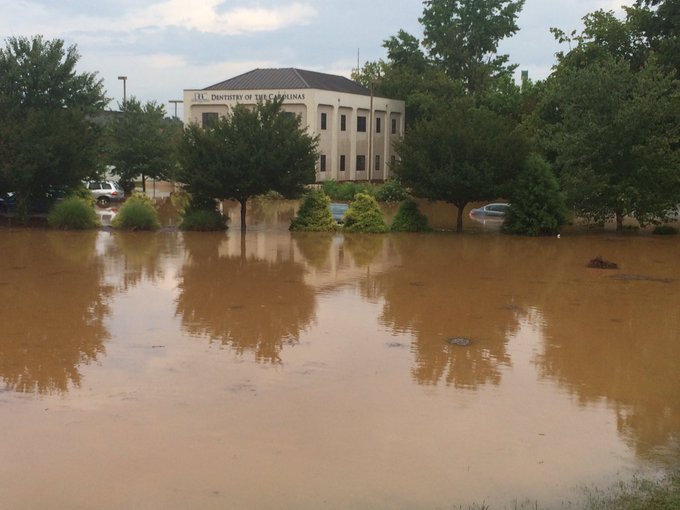
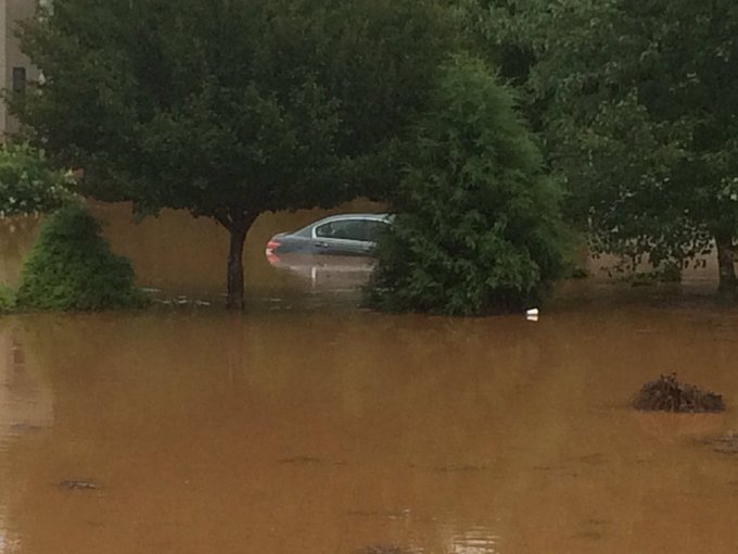
Last Wednesday, over 7 inches of rain triggered severe flooding in Statesville, North Carolina, flooding the grounds at Statesville High School with up to waist-deep water and requiring 18 water rescues, according to WSOC TV.
The scene now near Brookdale Drive, Statesville; cars submerged @wsoctv
Significant flooding and debris flows washed out a bridge and forced road closures around Bryson City, North Carolina, Thursday night.


No comments:
Post a Comment