Published: August 10,2016
A tornado touched down in Chicago on Tuesday, but apparently it produced no damage and wasn't even accompanied by a thunderstorm.
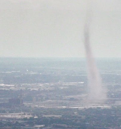
The bizarre, dusty funnel, known as a landspout, was visible from Chicago's Midway Airport just before 4 Thursday afternoon for about 10 minutes and was photographed by several commuters in Chicagoland.
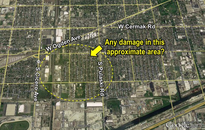
Based on assessment of photos, if there's any damage from landspout #tornado, approximate area is circled. #ilwx
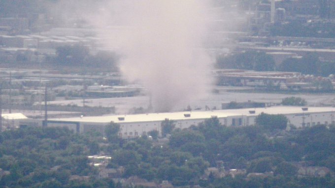
New photos of Tuesday's landspout taken from the Willis Tower. Courtesy David Harpe. #tornado #Chicago
From 1954-April 2016, there have been 54 tornadoes in Cook County, according to NOAA's Storm Events Database.
While a landspout is technically a tornado, it differs from what you may consider a tornado.
Landspouts don't need a parent thunderstorm with a rotating updraft. They form when a developing towering cumulus cloud occurs over any near-surface boundary of converging winds.
(WATCH: What is a Landspout?)
In Chicago's case, it was the lake-breeze boundary separating air cooled by Lake Michigan with easterly winds from hotter air over inland locations with winds blowing from the west or southwest.
 Radar loop showing the lake-breeze boundary (seen as north-northwest to south-southeast broken line) contributing to the Chicago landspout tornado on August 9, 2016, from 2:39 p.m. to 4:26 p.m. CDT. The landspout was reported at 3:48 p.m.
They are essentially waterspouts over land.
Most landspouts are fairly weak and short-lived. On occasion, they can do minor damage. They are most common in the High Plains, Colorado in particular.
One recent, photogenic landspout damaged a farm near Peetz, Colorado, in late May.
Jonathan Erdman is a senior meteorologist at weather.com and has been an incurable weather geek since a tornado narrowly missed his childhood home in Wisconsin at age 7.


No comments:
Post a Comment