By Kevin Byrne, AccuWeather.com Staff Writer
April 25,2015; 10:35PM,EDT
Damaging thunderstorms are targeting parts of the Ohio Valley and Southeast Saturday evening.
The strongest thunderstorms into Saturday evening have produced damaging winds, hail and blinding downpours.
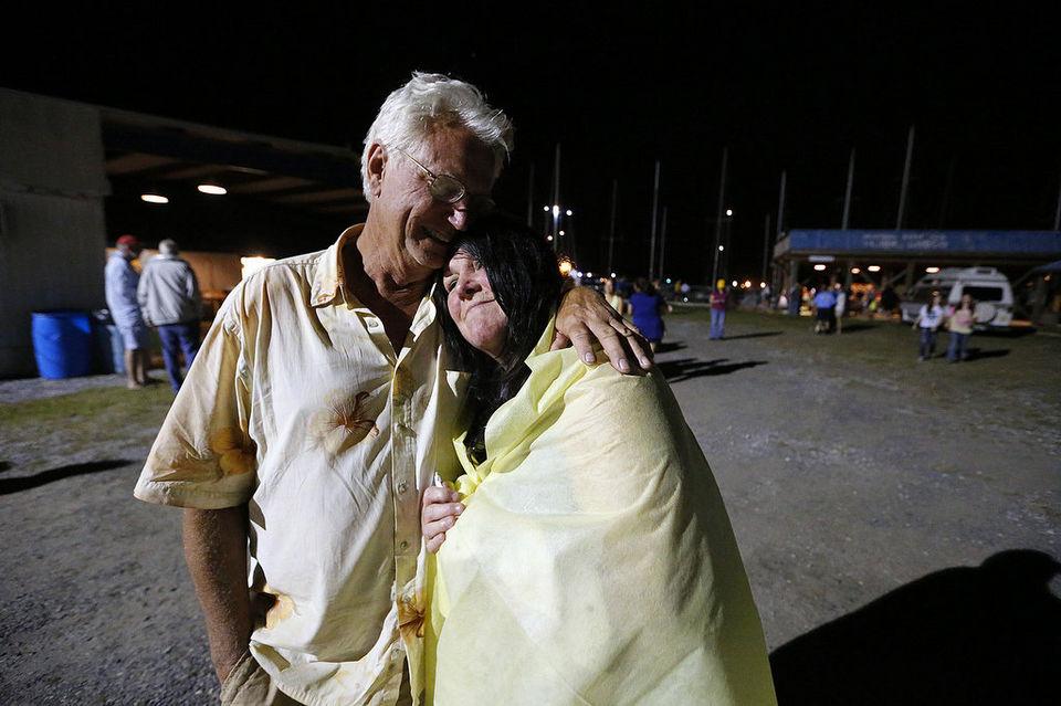
Earlier Saturday, strong storms moved through the Gulf Coast, targeting parts of Mississippi, Alabama and Louisiana. The U.S. Coast Guard received a report around 4:30 p.m. of capsized vessels and missing people in Mobile Bay after strong storms swept through the area. The search remains ongoing.
For storm reports from Friday afternoon through Saturday morning, click here.
RELATED:
Severe Storms to Threaten 50 Million From Ohio Valley to Gulf Coast Saturday
AccuWeather Severe Weather Center
The Difference Between Tornado Watches and Warnings
UPDATES: (All times are listed in CDT)
9:33 p.m. CDT Saturday: Three tornadoes -- two of EF-1 and one of EF-0 strength -- were confirmed to have touched down early Saturday morning in Leake and Madison counties in Mississippi, the National Weather Service at Jackson, Mississippi reported.
1 dead, several boaters missing after severe weather capsized boats at Dauphin Island Regatta http://ow.ly/M7ySK
8:34 p.m. CDT Saturday:
7:06 p.m. CDT Saturday:
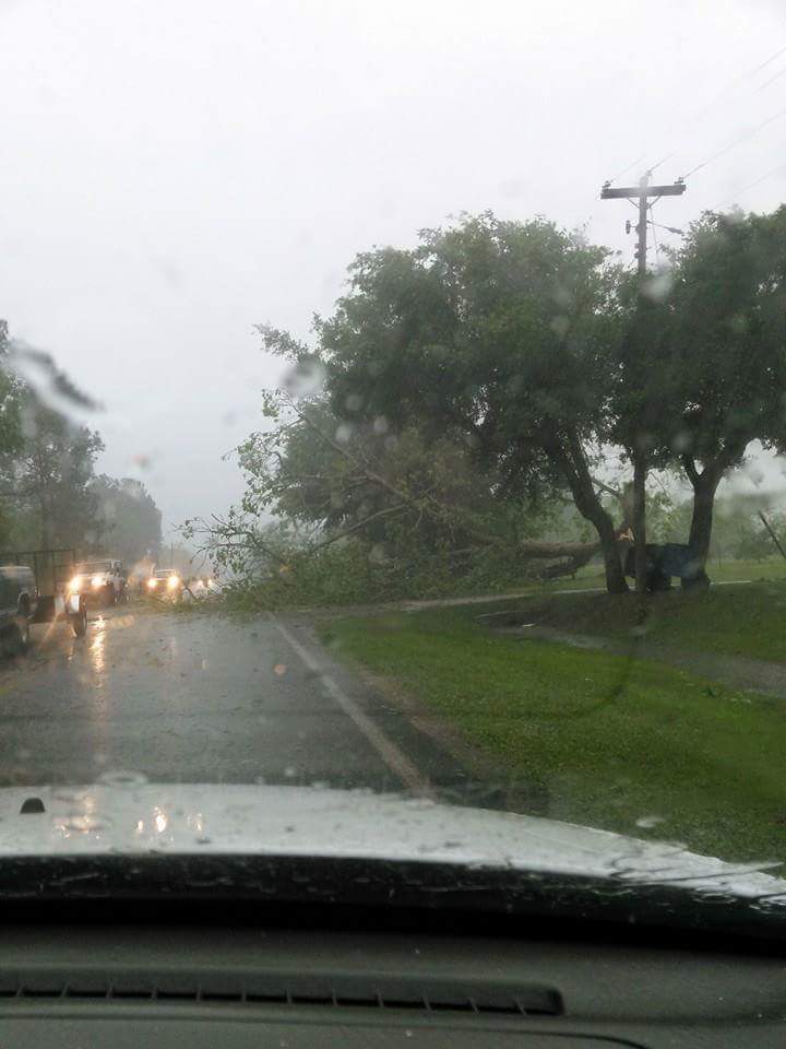
Wind damage reported in Fort Valley. Looking for a street name via Katelyn Bruyere @NWSAtlanta @mattdanielwx
This can't be good. #hail
Another view of trees down Ramsey Rd via Leslie Peters
2:37 p.m. CDT Saturday: A storm with a history of producing hail is approaching the Mobile, Alabama area and nearby Mobile Bay.
2:25 p.m. CDT Saturday: Ping pong-sized hail reported in Waveland, Mississippi.
2 p.m. CDT Saturday:
Friend said she just moved her car a few minutes ago...cop car...not so lucky.
Mandeville, LA
@derosajoe51
1:25 p.m. CDT Saturday: Powerful thunderstorms are tracking through the New Orleans area with the strongest winds threatening places north of the city.
1:05 p.m. CDT Saturday: Thunderstorm capable of producing a tornado tracking southwest of St. Louis, threatening the suburb of Horine.
12:55 p.m. CDT Saturday: The National Weather Service issued a tornado watch box that is in effect until 8 p.m. CDT Saturday from the St. Louis area to Evansville, Indiana, and Hopkinsville, Kentucky.
12:35 p.m. CDT Saturday: After a morning of sunshine to destabilize the atmosphere, the danger of severe thunderstorms to erupt across the lower Ohio Valley is increasing.
12:00 p.m. CDT Saturday: Violent thunderstorms with hail and gusty winds advancing closer to New Orleans.


No comments:
Post a Comment