By Mark Leberfinger, AccuWeather.com Staff Writer
January 26,2015; 11:10PM,EST
The first blizzard of 2015 for the eastern United States will slam the New York City area and New England Monday night through Tuesday, bringing many communities to a standstill.
The blizzard will unload heavy snow amid winds to 35 mph. The combination of the snow and wind will lower visibility down to zero at times.
The hardest hit areas, from New York City to Boston, could get totals greater than 2 feet. In advance of the storm Monday, travel bans and states of emergency have already been declared for numerous areas.
RELATED:
AccuWeather.com Winter Weather Center
Northeast Regional Weather Radar
Cold, Snow in Aftermath of Blizzard of 2015 to Make Cleanup More Difficult
Updates (All times listed in EST):
11:13 p.m. Monday: More than 4,200 U.S. flights have already been canceled for Tuesday, FlightStats reports.
11:05 p.m. Monday: New York travel ban is underway.
11:00 p.m. Monday: Half mile visibility reported in Boston from heavy snow band. EarthCam shows reduced visibility from its Boston camera.
10:51 p.m. Monday: Over a foot of snow is still expected to fall in New York City through Wednesday.
10:36 p.m. Monday: Rhode Island has industrial-sized equipment ready to help clear snow.
We'll be putting this blower to work; it moves up to 1,800 tons of snow per hour! @GinaRaimondo @RhodeIslandEMA
10:33 p.m. Monday: Shelters and warming shelters will open Tuesday across Rhode Island, the Rhode Island Emergency Management Agency said.
10:30 p.m. Monday:
10:27 p.m. Monday: Currently the road conditions on the Massachusetts Turnpike are poor, Massachusetts State Police reported on their website. All barracks are dealing with spin-outs and cars off the road. No injuries have been reported. The speed limit is 40 mph. A travel ban takes effect at midnight Tuesday in Massachusetts.
10:10 p.m. Monday: Transit in New Jersey shuts down for the blizzard.
10:03 p.m. Monday: Snow rates could surpass 2"/hour in Long Island from band of heavy snow, AccuWeather.com Meterorologist Brian Lada said.
9:35 p.m. Monday
During the rest of the night, AccuWeather.com meteorologists expect the storm to continue to spread along the rest of Long Island, New York City, Hartford, Connecticut, Worcester and Boston right through the first half of the day tomorrow, he added.
6:58 p.m. Monday:
6:46 p.m. Monday: Watch the 6 p.m. edition of AccuWeather LIVE.
5:56 p.m. Monday:
5:47 p.m. Monday:
Traffic very heavy in the #Providence area at this hour. Plan extra time to get where you need to go. #JunoRI pic.twitter.com/wA2VimV72D
— RIDOT (@RIDOTNews) January 26, 2015 5:06 p.m. Monday:
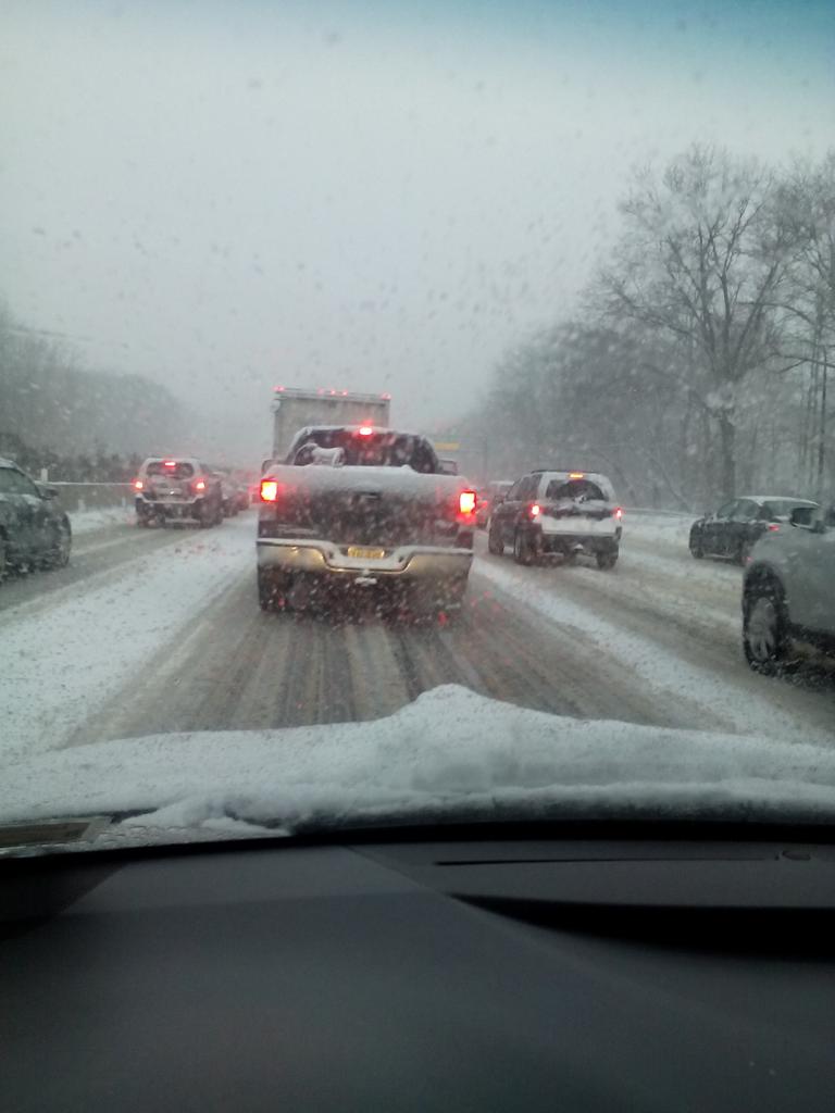
On the Long Island Expressway trying to get back to the city. Moving at 5 mph. Snow piling up and road not plowed.
3:56 p.m. Monday:
3:41 p.m. Monday:
3:14 p.m. Monday:
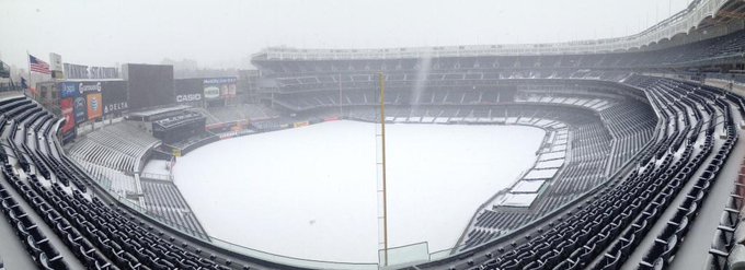
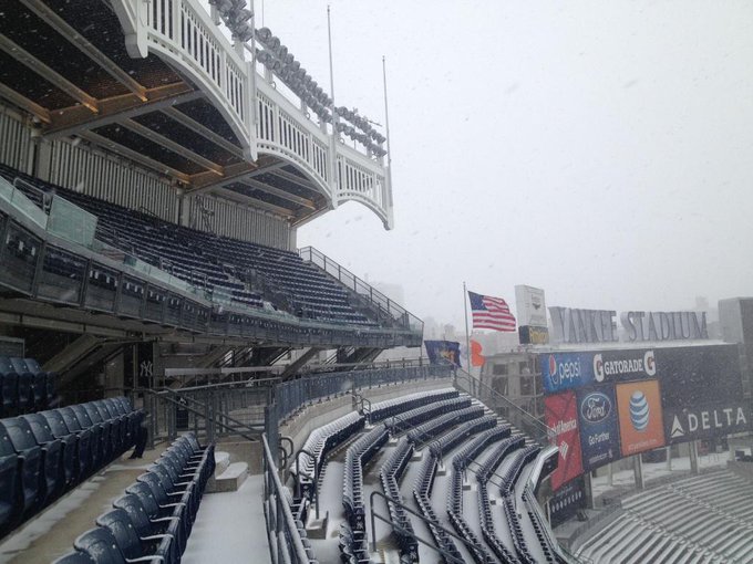
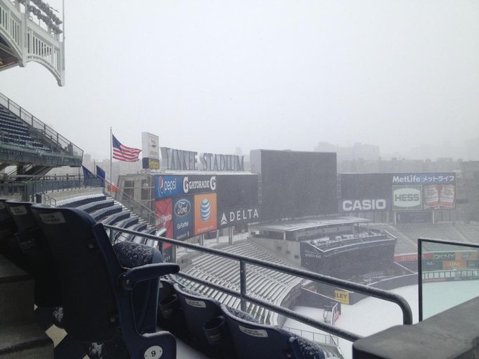
#Snowmageddon2015 hits Yankee Stadium. Be safe out there.
3:00 p.m. Monday:
2:10 p.m. Monday: To assist those leaving early from work due to winter weather, 26 trains have been added to New York's Long Island Railroad and Metro-North schedules this afternoon. According to an MTA service advisory, "Bus, commuter-rail, and subway service could be curtailed on a route-by-route basis, depending on conditions and snow-removal operations."
1:39 p.m. Monday: The NBA has postponed the New York Knicks' and Brooklyn Nets' home games scheduled for Monday night in anticipation of the winter weather.
1:01 p.m. Monday: The New York Stock Exchange has vowed to remain open Monday and Tuesday despite the storm:
The NYSE is prepared for #Snowmageddon2015, & will remain open for normal trading hours today & tomorrow
12:51 p.m. Monday: All Massachusetts Bay Public Transport will be canceled Tuesday:





No comments:
Post a Comment