Published: August 31,2015
The National Weather Service reported 6.25 inches of rain had fallen at Charleston International Airport between midnight and 8 a.m. EDT Monday morning, shattering the old daily record of 2.61 inches, achieved in 2006. It was already the second-wettest August day on record at the airport, which got more rain in under 8 hours than it had reported for the first 30 days of August, combined.
"A dip in the jet stream over the South is helping to send a pipeline of deep moisture from Florida northeastward to the coastal Carolinas," said weather.com meteorologist Chris Dolce. "This has contributed to the development of slow-moving thunderstorms this morning near the South Carolina coast that have unleashed torrential rainfall."
(MORE: Track the Storms As They Move Across the Southeast)
The flooding had negative impacts on travel Monday morning. Authorities were forced to close several roads that were under water, and the NWS reported a water rescue was in progress Monday morning in North Charleston.
Just before 8:30 a.m., a mudslide was reported by ABC News 4 near the intersection of Dorchester Road and Parmount Drive. One ramp was completely blocked, the report added.
All bus service was temporarily halted Monday morning due to the flooding but resumed shortly after.
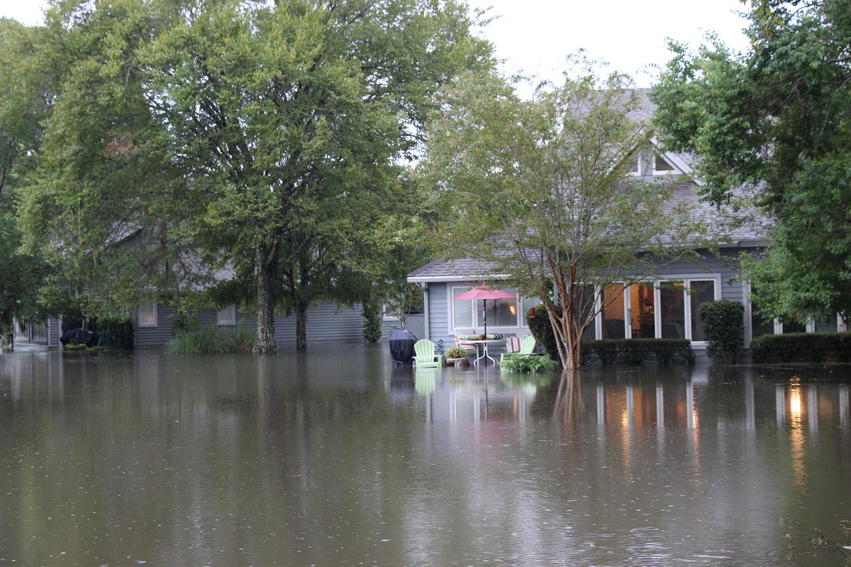
Flooded condos in Shadowmoss. #chswx
Friend took this out front her home in Shawdowmoss
#Chstrfc Police are responding to this mudslide in North Charleston. It's on Paramount Dr.... http://facebook.com/KyleJordanLive5News/posts/985413231481079 …
The remnants of Tropical Storm Erika continue to push north and won't help matters, either.
"Heavy rain could create additional flooding problems on Monday from the coastal Carolinas to Florida, where moisture from former Tropical Storm Erika will enhance rainfall," Dolce added.
MORE: Charleston Floods, Two Weeks Ago


No comments:
Post a Comment