By Brian Thompson, Meteorologist
June 2,2015; 8:01PM,EDT
Andres has begun to weaken over the eastern Pacific, but a new threat has developed closer to Mexico.
Andres became a tropical storm Thursday in the eastern Pacific, becoming the first tropical storm of the eastern Pacific season, which runs from May 15 to Nov. 30.
 A
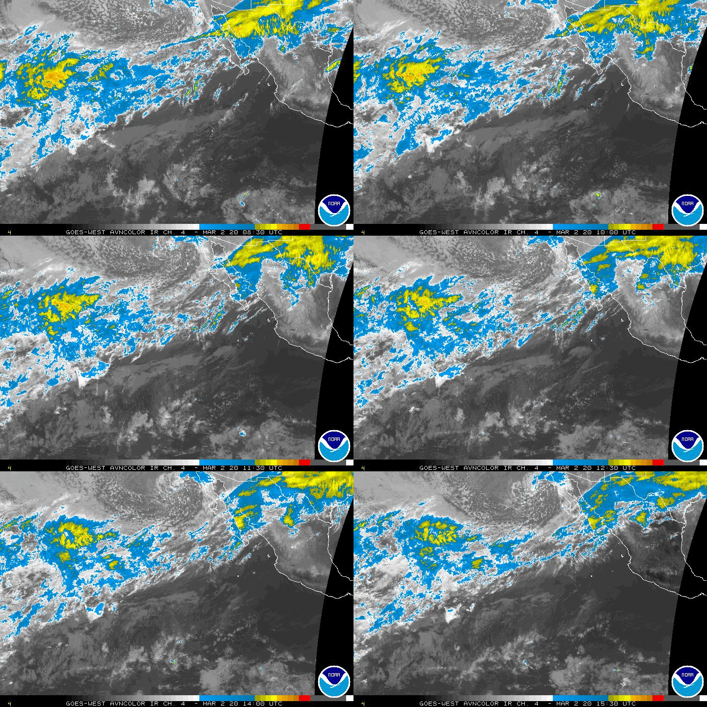
satellite loop of the eastern Pacific, showing the west-northwestward
track of Andres and the newly formed tropical depression near southern
Mexico. (NOAA)
A
satellite loop of the eastern Pacific, showing the west-northwestward
track of Andres and the newly formed tropical depression near southern
Mexico. (NOAA)Andres strengthened significantly on Sunday, reaching major hurricane status, but has started to weaken as the storm tracks to the west into an area of cooler ocean water well to the southwest of Baja California.
ADVERTISING
As of Tuesday afternoon, Tropical Storm Blanca became a hurricane after taking shape off the coast of southern Mexico. The tropical system will threaten coastal areas into this weekend as it moves slowly over the open ocean.

Blanca will have a greater chance to bring direct impacts to Mexico as it strengthens throughout the week.
The storm will meander off the coast of southern Mexico for the next 48 hours before moving northwestward during the second half of the week.
The expected track will take this new tropical threat parallel to the Mexico coastline, keeping the worst conditions well offshore; however, large surf and dangerous rip currents will increase as the week progresses along the coast of Mexico from Acapulco to near Puerto Vallarta.
RELATED:
Detailed Forecast for Cabo San Lucas, Mexico
Mexico Weather Center
VIDEO: Unusual Rain Provides Rare Treat for Uluru Tourists
While the heaviest rain will remain offshore, the increase in moisture will lead to enhanced showers and thunderstorms across parts of Guerrero, Michoacan, Colima and Jalisco this week. Flooding is expected to be localized.
In the longer range, a track toward Baja California is possible; however, tracking over cooler waters would likely result in significant weakening before any landfall were to occur. Regardless, there will be an increased risk for showers and thunderstorms across the southern Baja this weekend and early next week.
Meteorologists Eric Leister and Courtney Spamer contributed to this story.
No comments:
Post a Comment