By Alex Sosnowski, AccuWeather.com Senior Meteorologist
November 29,2015; 9:25PM,EST
The first widespread ice storm of the season will slowly diminish over parts of the southern and central Plains, but areas of slippery travel will continue into early Monday.
Roads may remain slick from the ice from the northern Texas panhandle to southern Iowa into early Monday, which includes portions of the I-27, 35 and 40 corridors.
With temperatures climbing above freezing in many areas and salting operations well underway, the greatest issue for patchy ice will be on colder, elevated and untreated areas.
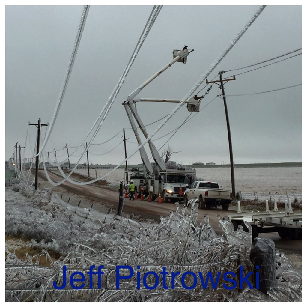
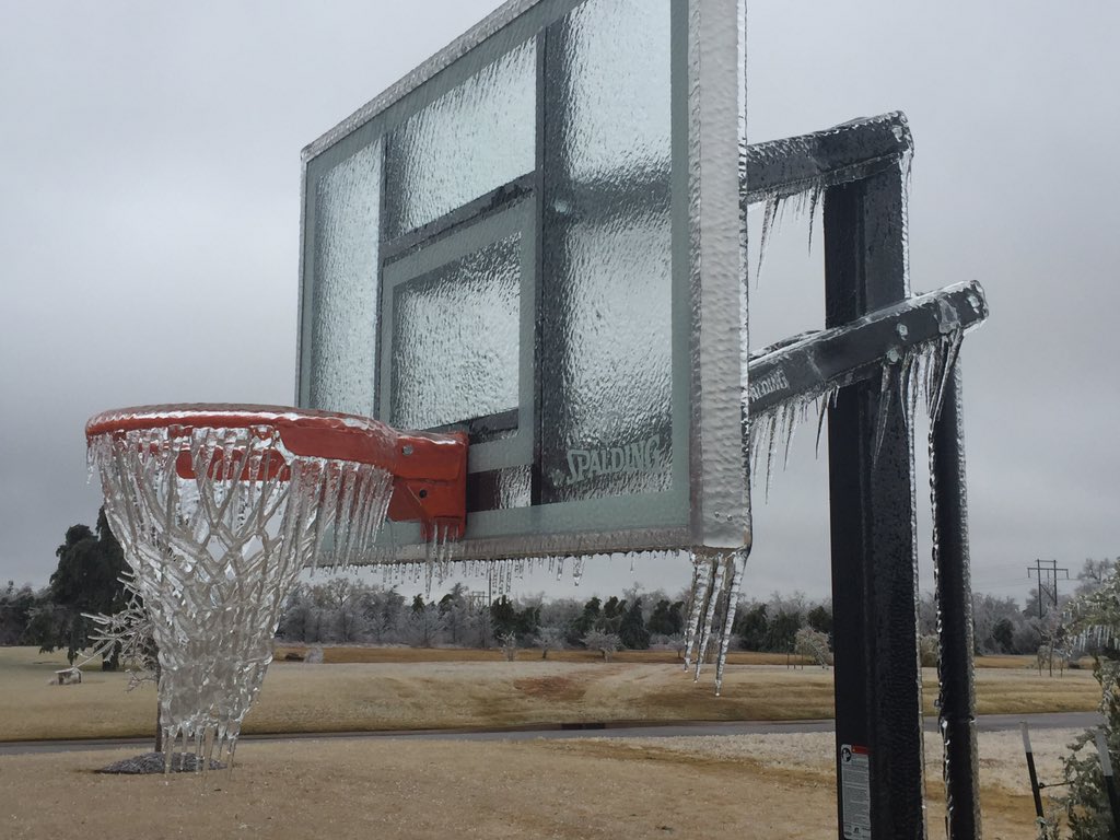
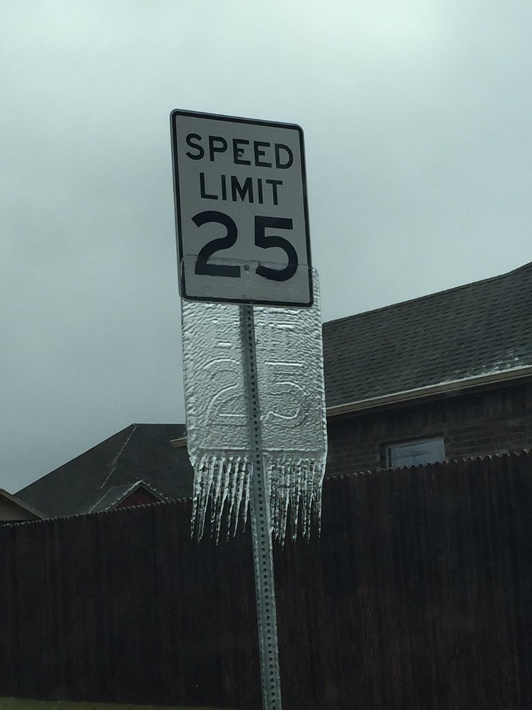
By the end of the storm, some locations will have a total ice accretion to a thickness of almost 1 inch on exposed surfaces with locally higher amounts.
As this ice storm winds down over the southern Plains, a new storm will spread a swath of heavy snow and some ice over the central Plains to the Upper Midwest during Sunday night into Tuesday.
This number dropped to closer to 70,000 on Sunday afternoon with crews hard at work to restore power across the region.
According to Westar Energy, 10,000 customers were without power on Sunday, Nov. 29, 2015, in eastern Kansas.
The ice storm has also caused several fatalities in Kansas, Oklahoma and Texas dating back to Thursday, according to the Associated Press.
Check AccuWeather MinuteCast® for Your Location
National Interactive Radar
El Nino-Driven Weather Pattern to Shape White Christmas Likelihood Across US
Drivers should exercise extreme caution as roads that appear wet could be covered with a clear, frozen glaze known as black ice.
Drivers should also watch out for tree limbs that were brought down by the ice.
Ice Storm 2015 has started to melt. Power on, uverse not. #icestorm #mustang #oklahoma @reedtimmerTVN @KyleSalomonMN
1.25" ice in El Reno


No comments:
Post a Comment