By Katy Galimberti, AccuWeather.com Staff Writer
February 9,2015; 8:30PM,EST
As of 9:50 p.m. EST Monday, this blog is no longer live. Archived reports from the storm can be found below.
Another winter storm continues to invade the Northeast on Monday bringing an onslaught of rain, ice and snow to areas from New York City to Boston.
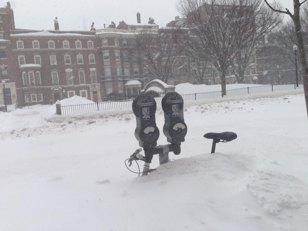
Snow has already fallen and created a travel mess in areas across New York and Massachusetts. The highest snow totals are expected in the Boston area where some locations may end up with more than a foot by the end of the storm. Massachusetts Gov. Charlie Baker urged residents to stay home on Monday and keep roads clear as crews work on snow removal.
Further south, ice has begun to coat roadways and sidewalks, slowing travel and forcing speed restrictions on major highways. More than a thousand flights across the Northeast were canceled on Monday morning with more expected as the storm continues.

RELATED:
Heaviest Snow in Storm Train to Hit New York State to New England by Monday
AccuWeather Winter Weather Center
Polar Plunge to Deliver Coldest Air This Winter to Northeast
UPDATES: (All times are listed in EST)
9:10 p.m. EST:
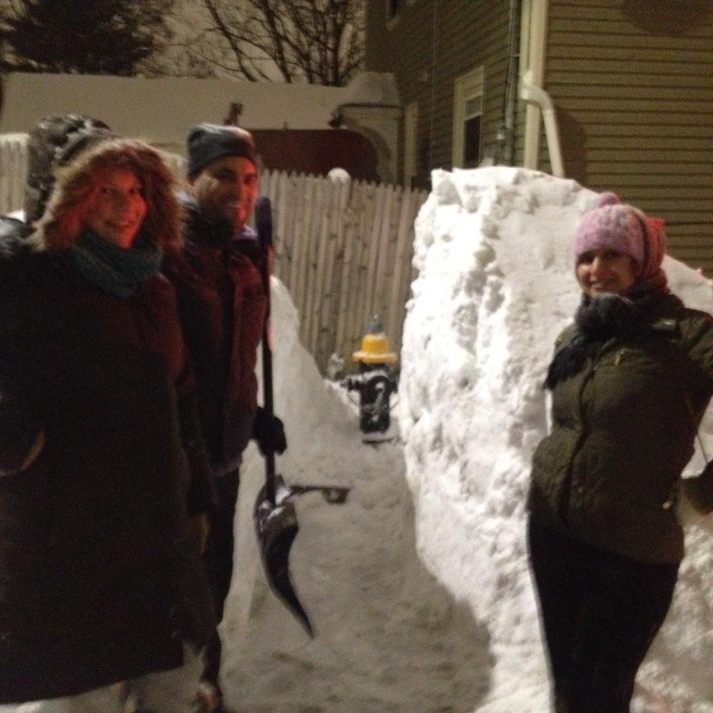
Members of @BostonFire @BOSTON_RES2CUE found residents of Nira Ave. in #JamaicaPlain helping us! Great Job! #MAsnow
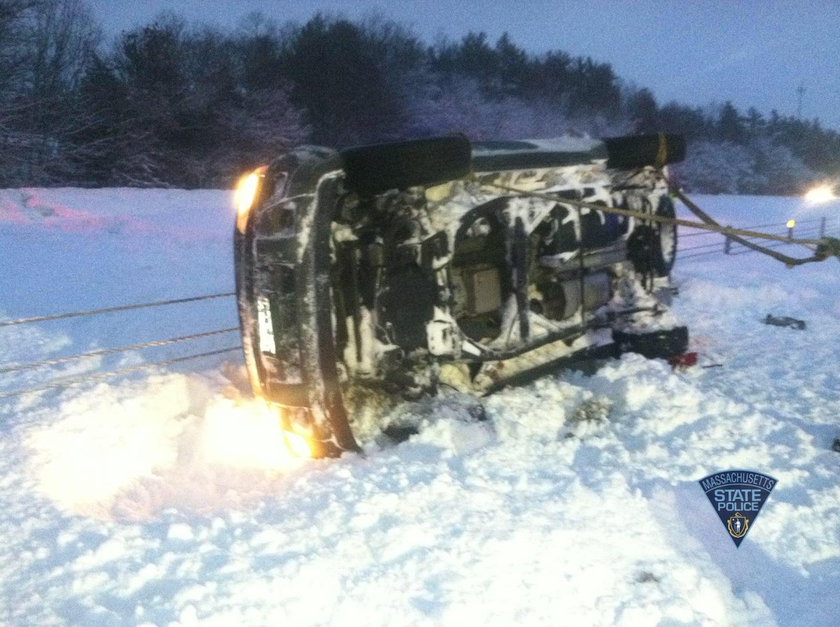
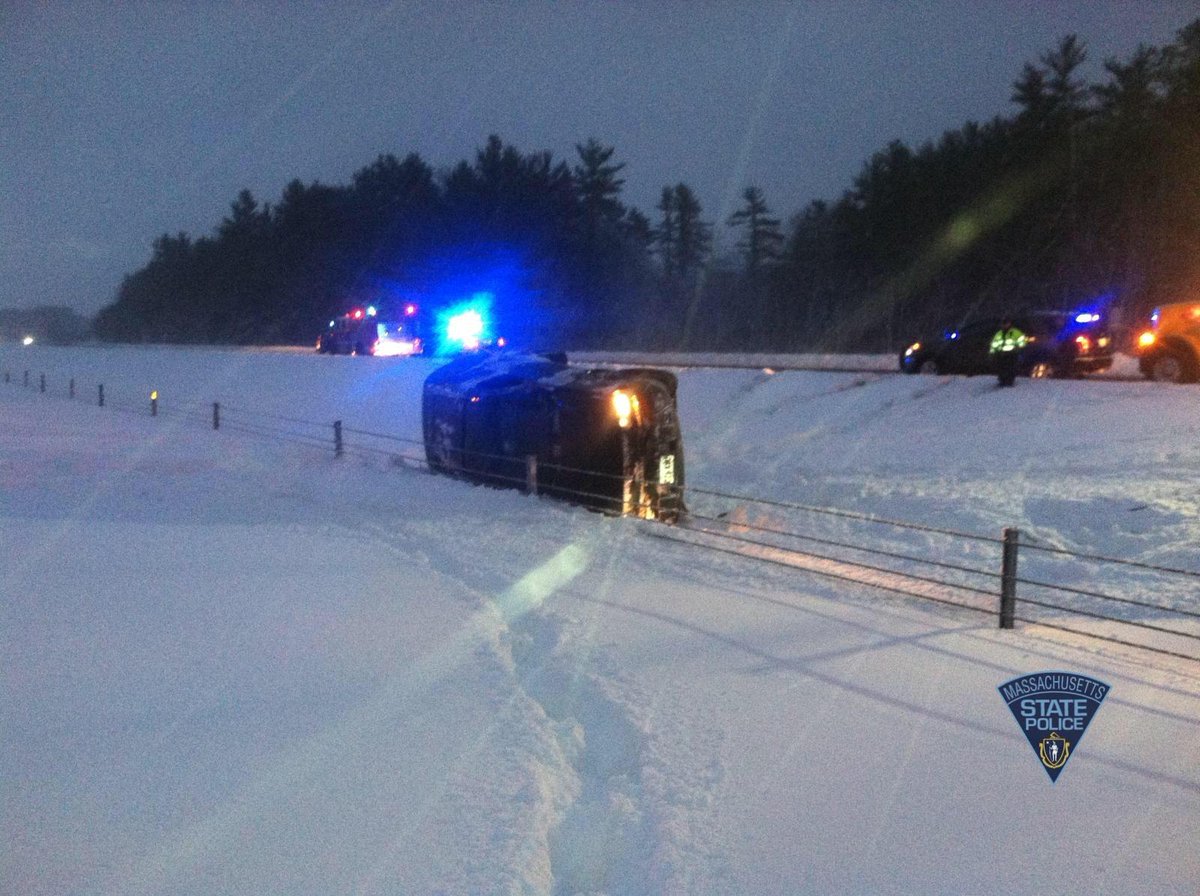
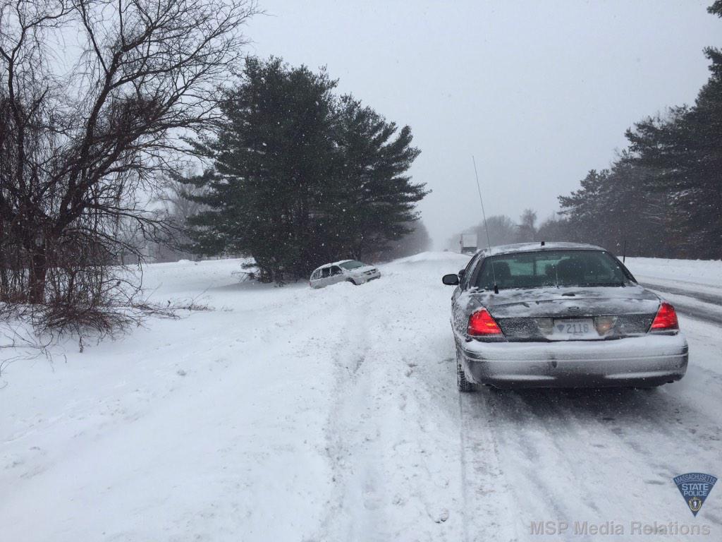
#MAsnow slow down, wear your seatbelt. Operator removed from under vehicle was very lucky. Rte 140 SB #Lakeville,
4:15 p.m. EST
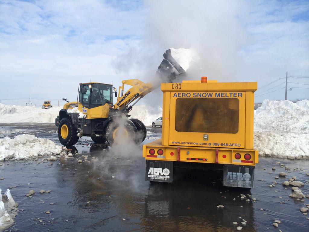
Snow melters are melting 400 tons of snow per hour at the city’s snow farms to make room for new truckloads #BOSnow
In a 3 p.m. press conference Boston Mayor Marty Walsh urged people to stay off the roads on Tuesday and told employers to allow employees to work from home if possible.
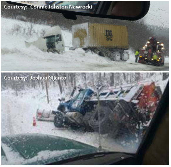
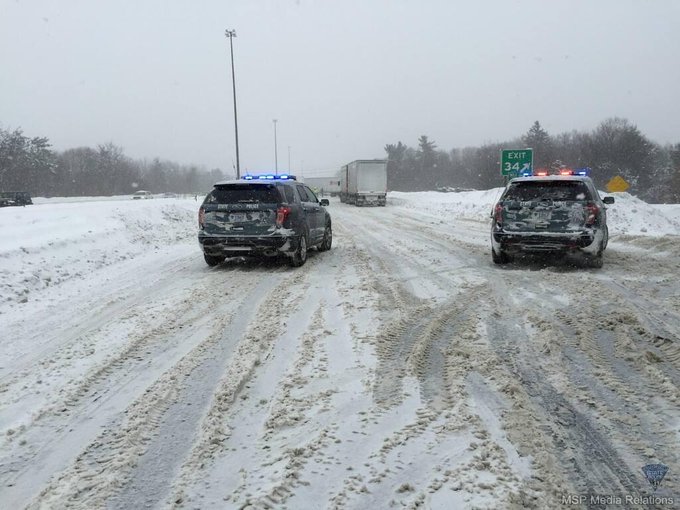
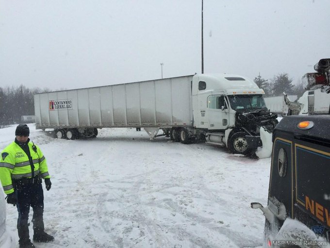
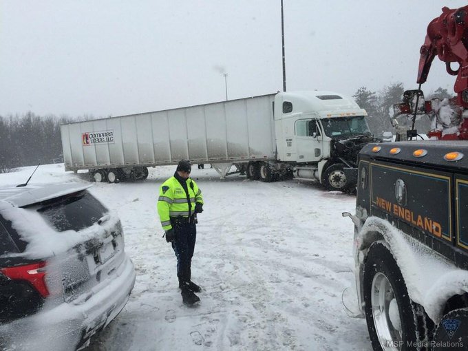
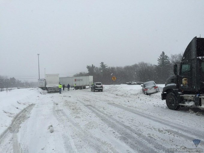
Photos from jackknifed TT-unit on I-495 in #Chelmsford. Scene now clear, all lanes now open. #MAtraffic #MAsnow
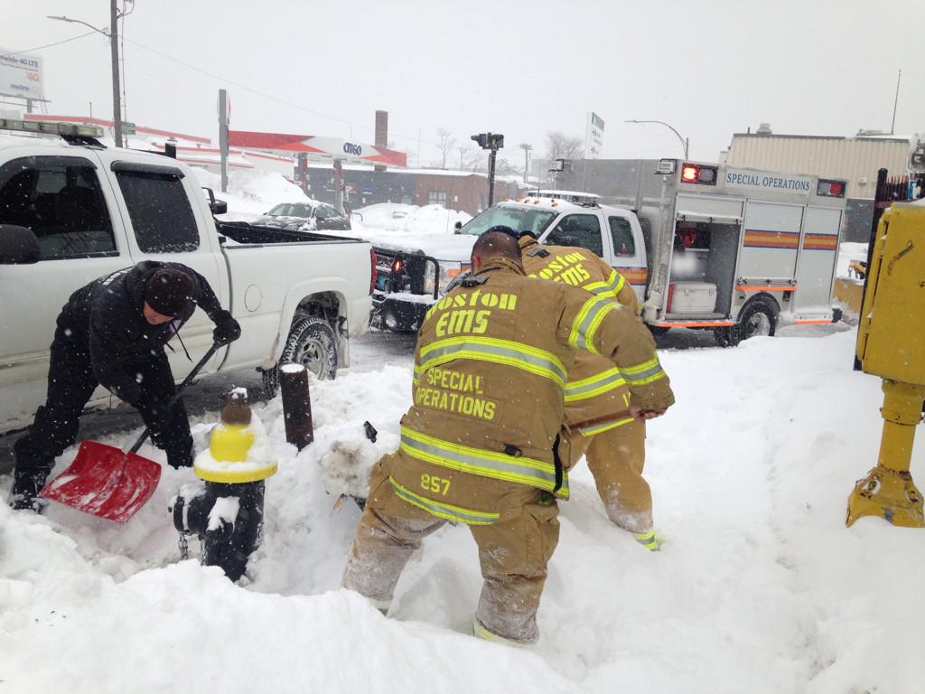
Adopt a hydrant: If you are able, help shovel out the fire hydrant near your home or business. #BOSnow
1:17 p.m. EST Monday: Multiple reports of total and partial roof collapses in Plymouth County, Massachusetts, according to local officials. No known injuries reported.
12:56 p.m. EST Monday:
City of Boston ✔ @NotifyBoston Follow
NWS Albany ✔ @NWSAlbany Follow
 A crash occurred along Route 3 in Duxbury, Mass. on Monday morning. (Twitter Photo/DustinGFitch)
10:31 a.m. EST Monday: Outbound flights at Philadelphia, Newark, John F. Kennedy and La Guardia airports are facing delays due to winter weather according to the FAA. At La Guardia, delays are near seven hours.
10:21 a.m. EST Monday:
 Commuters walk to work along snow-packed roads and sidewalks in Boston on Monday morning. (Instagram Photo/michtrei)
9:02 a.m. EST Monday: "The way the storm is tracking, it will snow in eastern Massachusetts into late Monday night and early Tuesday morning. In New York City, freezing rain and sleet will end as snow into Monday evening. Plunging temperatures Monday night may cause untreated wet and slushy areas to freeze up," AccuWeather.com Meteorologist Alex Sosnowski said.
8:29 a.m. EST Monday: As of 7 a.m., Bangor, Maine, has a snow depth of 53 inches. This ties the all-time record of highest snow depth last set in 1969.
8:15 a.m. EST Monday:
7:45 a.m. EST Monday: Commuters woke to covered roads and sidewalks in the Boston area Monday morning. Massachusetts Gov. Charlie Baker urged drivers to stay off roads if possible.
 Piles of snow along sidewalks created a hazardous early morning commute for some. (Instagram Photo/Nicole DeRoy)
 In
Beacon Hill, snow created messy roads and piled on top of parked cars
with more expected throughout the day. (Instagram Photo/Denise Garofalo)
In
Beacon Hill, snow created messy roads and piled on top of parked cars
with more expected throughout the day. (Instagram Photo/Denise Garofalo)7:10 a.m. EST Monday: Since Saturday, Boston Logan Airport has received 12.1 inches of snow, bringing the season's snowfall total up to 66.3 inches.
6:25 a.m. EST Monday:

4:54 a.m. EST Monday: 45-mph limit on the Garden State Parkway from south of Exit 124 in Sayreville to New York border due to roadway conditions and salting operations, 511NJ reports.
4:35 a.m. EST Monday: 45-mph limit on the New Jersey Turnpike from north of Interchange 14 in Newark to George Washington Bridge in Fort Lee due to roadway conditions, 511NJ reports.
4:30 a.m. EST Monday:

3:44 a.m. EST Monday: Skyline Drive in New Jersey is closed between I-287 and Greenwood Lake Turnpike due to icing, 511NJ reports.
3:40 a.m. EST Monday:: A 45-mph speed limit is in effect on the Garden State Parkway in both directions, north of Bergen Toll Plaza in Saddle Brook Township to New York border in Montvale, due to salting operations, 511NJ reports.
3:30 a.m. EST Monday: More than 1,400 flights canceled at this time, mostly at Northeast airports including Logan International Airport, Boston, according to FlightStats.
3:20 a.m. EST Monday: Courts in Barnstable, Dukes and Nantucket counties will decide by 6 a.m. whether to open for the day. Courts in all other counties are closed, according to the Massachusetts Court System.
3:15 a.m. EST Monday: Snowy travel on I-93 south of Boston, near East Berkeley Street, 511MA webcam shows.

3:09 a.m. EST Monday: Speed limit, propane and tandem restrictions continue on Interstate 90 from the New York border to Boston, MassDOT reports.
3:07 a.m. EST Monday: Wet to snowy travel occurring over New York state, 511NY reports.

2:45 a.m. EST Monday: All Boston public schools will be closed Monday and Tuesday.
BostonPublicSchools @BostonSchools Follow
Due to the winter storm, expected to last through Tuesday, BPS schools will be closed Mon and Tues, Feb 9-10. http://ow.ly/IHj16







No comments:
Post a Comment