By Mark Leberfinger, AccuWeather.com Staff Writer
February 20,2015; 11:15PM,EST
A winter storm, which will eventually impact the Northeast, will continue to spread disruptive snow across the Tennessee Valley tonight.
The path of the storm will encompass nearly 2,000 miles, unleashing rain, snow and ice over the weekend.
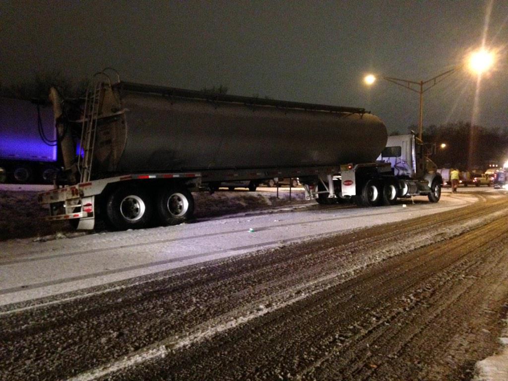
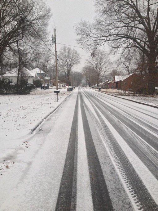
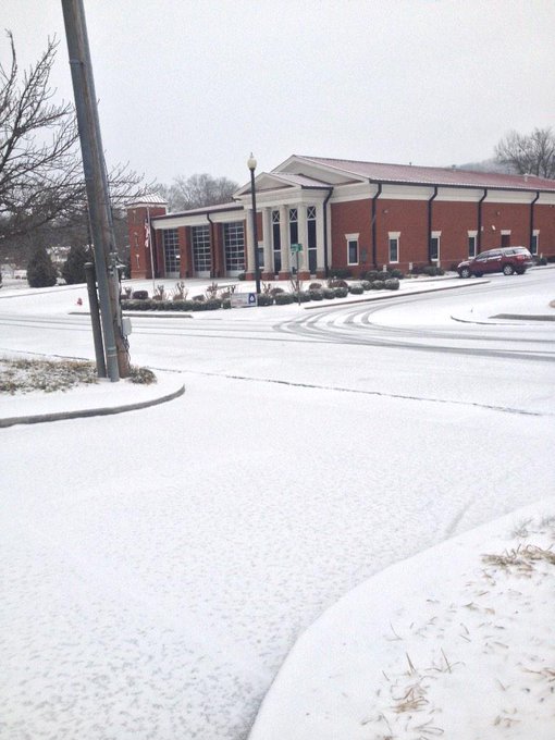
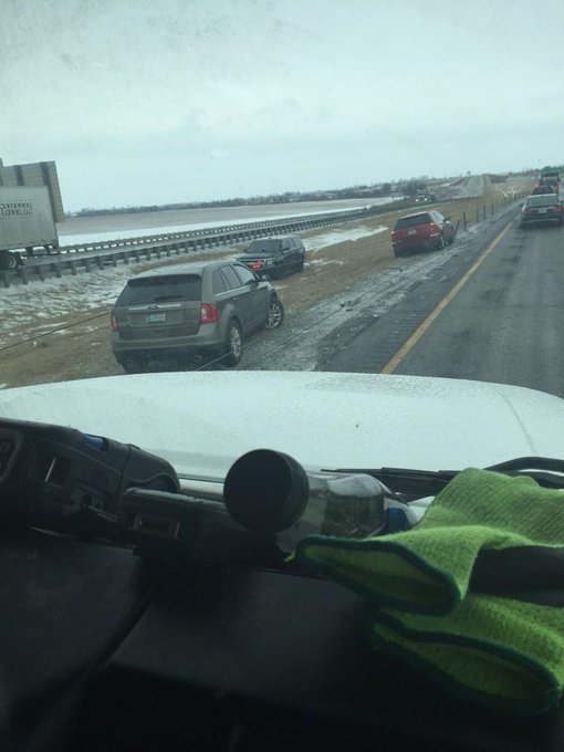
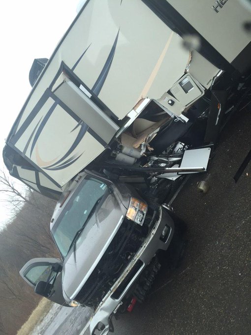
Travel reaching from Denver to Nashville and northward as Boston could be treacherous as roads become slick. Multiple vehicle crashes and slide offs were reported across portions of Mississippi, Tennessee and Alabama Friday.
"The storm will blossom and expand tonight, exploding across a large statewide area instead of affecting smaller, localized regions," AccuWeather.com Meteorologist Dave Samuhel said. "Snow will spread and become heavy across the Ohio Valley with ice in the Tennessee Valley tonight before reaching into the Appalachians by dawn."
RELATED:
Weekend Snow, Ice to Threaten an 1,800-Mile Corridor From Central to Eastern US
AccuWeather Winter Weather Center
More Arctic Cold to Flow Across Eastern US Through End of February
UPDATES: (All times are listed in EST)
11:20 p.m. EST Friday: Hazardous travel occurring over most of Tennessee, TDOT reports.
11:15 p.m. EST Friday: Thunder and lightning accompanied 1 inch of sleet at Potosi, Missouri, NWS spotter reports.
11:05 p.m. EST Friday:
10:35 p.m. EST Friday:
10:12 p.m. EST Friday: Hazardous travel with numerous vehicle crashes occurring in Colbert, Franklin, Lauderdale and Lawrence counties in Alabama, due to freezing rain, ALDOT reports.
9:42 p.m. EST Friday:
65 north at Morris Backed up for miles @spann 65 south reopened on left side.
18 wheeler slid off on ramp into I-24. #CHAtraffic #CHAwx
A woman was killed in a crash on I-40 in Haywood County, Tennessee, today due to icy road conditions, WMC Action News reports.
8:00 p.m. EST Friday:
Looks like the roads are starting to accumulate some light snowfall in downtown Chattanooga. Drive safe everyone!
Traffic is getting hazardous on Highway 136 up and down Sand Mountain in Dade County.
Exit 154 Springville @spann @RobinsonCarol
@Spann wreck off bridge just north of Oneonta Hwy 75
@spann heavy snow at Black Creek, Alabama
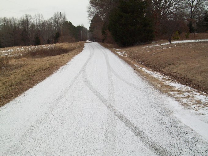
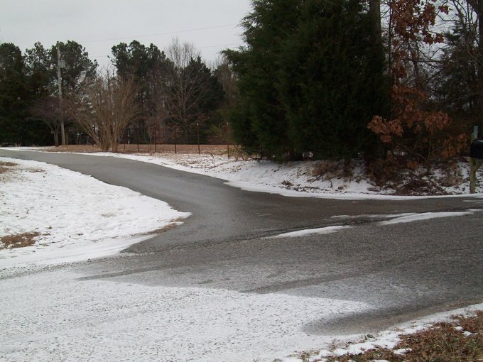
@NWSMemphis @WBBJ7TomMeiners 6 mi. SSE McLemoresville, TN 0.1 snow stuck to untreated secondary road, now ceased
@ryanvaughan just south of hayti, mo.
11:45 a.m. EST Friday:
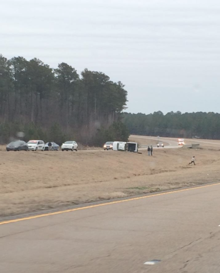
@NWSJacksonMS pic of accident with truck flipped over near old 25 close to Starkville. Use caution driving! #mswx











No comments:
Post a Comment