By Kevin France, AccuWeather.com Staff Writer
July 12,2015; 6:58PM,EDT
The stage is set for severe thunderstorms to impact parts of the Midwest Sunday night.
"The outbreak of severe weather will first unfold across eastern North Dakota and Minnesota before dropping into Illinois during the overnight hours," AccuWeather Meteorologist Kristina Pydynowski said.
The outbreak will bring widespread damaging winds, hail, flash flooding and isolated tornadoes, which will span about 1,000 miles from Minnesota to Tennessee, threatening lives and property.
Pydynowski added that, overnight the danger will transition to more of a damaging wind event with storms leaving a widespread swath of damage, possibly even evolving into a derecho.
The severe weather outbreak will continue on Monday. The danger will wane for a time during the midday and early afternoon, but will pick right back up across the Ohio and Tennessee valleys in the afternoon.
"We will have also have to watch for another round of severe weather to erupt Monday afternoon in the Upper Midwest," stated Pydynowski.

RELATED:
North Central US Regional Radar
AccuWeather Severe Weather Center
The Difference Between Tornado Watches and Warnings
10:18 p.m. EDT Sunday: Local law enforcement reporting widespread trees down as well as a traffic signal being blown down due to high winds in Stearns County, Minnesota.
9:25 p.m. EDT Sunday: Reports of debris on several roadway near Spring Lake Park, according to Minnesota Department of Transportation.
8:50 p.m. EDT Sunday: Reports of thunderstorm wind damage in Crow WIng, Minnesota with several large trees down on several homes, according to trained spotter.
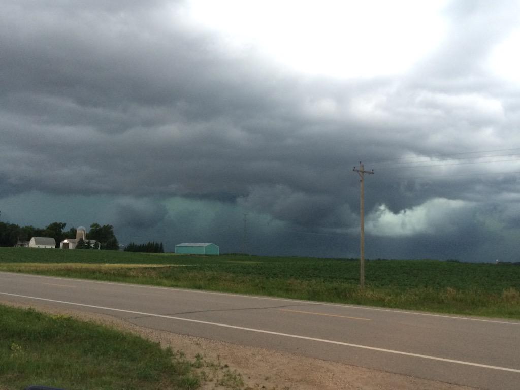
8:30 p.m. EDT Sunday: Storms beginning to flare up just north of Alexandria, MN.
This is a nasty looking storm. Still looking north towards Alexandria. #mnwx
8:10 p.m. EDT Sunday: Minneapolis-St. Paul
residents should keep an eye to changing conditions as possibles are
possible around the Twin Cities. The city is currently under a tornado
watch until 1 AM local time.7:35 p.m. EDT Sunday: Tornado warnings in effect for several counties in Central Minnesota. Reports by trained spotters of golf ball sized hail in these warned areas.

6:30 p.m. EDT Sunday Tornado spotted near Wilkin, Minnesota, according to a trained spotter. Take immediate cover if your in the general area.
6:05 p.m. EDT Sunday: Hail, 1 inch in diameter reported near Grand Forks, North Dakota, a trained spotter reports.
@JohnWheelerWDAY South end of Grand Forks at 4:41pm this evening.
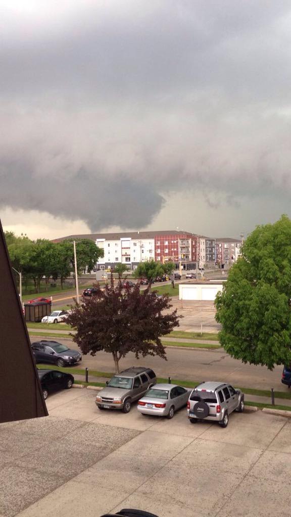
5:35 p.m. EDT Sunday: Tornado warned storm moving into the Grand Forks, North Dakota Area
@NWSGrandForks grand forks looking west
5:05 p.m. EDT Sunday: Tornado Warning issued for Grand Forks, North Dakota until 5:00 PM CDT. Take Cover4:44 p.m. EDT Sunday: A funnel cloud was spotted near Hatton, North Dakota, a trained spotter reports.


No comments:
Post a Comment