Figure 1. MODIS satellite image of Tropical Storm Hanna making landfall in northeastern Nicaragua at approximately 11:30 am EDT October 27, 2014. Image credit: NASA.
Hanna's formation date of October 27 comes more than a month later than the typical September 24 formation date of the season's eighth named storm. Hanna gives the Atlantic 8 named storms, 6 hurricanes, and 2 major hurricanes so far in 2014. Between 1966 - 2009, the Atlantic averaged 11 named storms, 6 hurricanes, and 2 major hurricanes, so we are close to average in two of the three categories--hurricanes and major hurricanes. However, those hurricanes have not been as strong or long-lasting as usual, and the Accumulated Cyclone Energy (ACE) so far in 2014 is 65 units, which is well below the 110 units that occurs in a typical year.
Eastern Pacific disturbance may develop
An area of disturbed weather in the Eastern Pacific a few hundred miles southwest of the Mexico/Guatemala border is gradually becoming more organized, and has the potential to develop later this week. Our top three models for predicting tropical cyclone genesis all develop the system, and in their 8 am EDT Monday Tropical Weather Outlook, NHC gave the disturbance 2-day and 5-day odds of development of 40% and 80%, respectively. The storm's heaviest rains will remain well offshore from Mexico over the next five days.
Figure 2. MODIS satellite image of Tropical Cyclone Nilofar in the Arabian Sea on Monday morning, October 27, 2014. At the time, Nilofar was an intensifying Category 1 storm with 85 mph winds. Image credit: NASA.
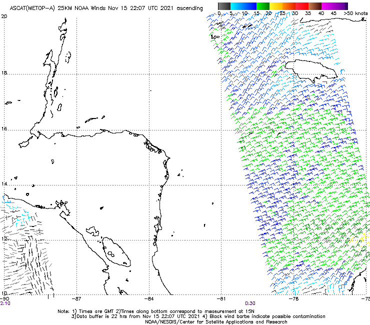
Arabian Sea Cyclone Nilofar hits Category 1 strength
In the Arabian Sea between India and Africa, Category 1 Cyclone Nilofar has formed. With wind shear a light 5 - 10 knots, excellent upper-level outflow, and very warm ocean temperatures of 28 - 29°C (82 - 84°F), Nilofar appears likely to intensify into a Category 3 storm, despite the presence of very dry air from the deserts of the Middle East on the storm's west side. Nilofar is expected to recurve to the northeast later this week, and the 00Z Monday runs of the GFS and European models predicted a landfall near the Pakistan/India border between 18 UTC Friday and 03 UTC Saturday. Higher wind shear should induce significant weakening of Nilofar before it makes landfall.
Jeff Masters
No comments:
Post a Comment