Hurricane Arthur
is no more. Its circulation has been absorbed by a trough of low
pressure over the Canadian Maritime provinces after Arthur made landfall
in Nova Scotia on Saturday morning near 10 am EDT as a tropical storm
with 65 mph winds. On Friday night, Arthur skirted Nantucket and Cape
Cod, Massachusetts, bringing a swath of 3 - 5" of rain across Southeast
Massachusetts and Eastern Maine. Top winds at Nantucket were 50 mph, gusting to 59 mph, at 9:53 pm EDT.

Figure 1. Boston radar image of Arthur on Friday night July 4, 2014, as it brushed Nantucket and Cape Cod, Massachusetts.

Figure 2. Total radar-estimated rainfall for the Northeast U.S. from Arthur from the Boston radar. Arthur brought a swath of 3 - 5" of rain across Southeast Massachusetts.
Category 4 Typhoon Neoguri a threat to Japan
In the Western Pacific, Typhoon Neoguri has strengthened into a Category 4 storm with 135 mph winds this Saturday morning, and is headed northwest towards a Tuesday rendezvous with Okinawa in Japan's Ryukyu island chain. Satellite images show a huge and well-organized system, with a prominent eye, and very intense eyewall thunderstorms with cold cloud tops. WInd shear is light, 5 - 10 knots, and Neoguri is expected to be a Category 5 storm by Sunday. Neoguri will get caught by a trough of low pressure on Monday and begin curving to the northwest. The 00Z Saturday runs of our two top track models, the GFS and European models, showed Neoguri passing about 50 - 100 miles south of Okinawa near 00 UTC Tuesday, then curving to the north and hitting the Japanese island of Kyushu, where the city of Nagasaki lies, between 10 - 22 UTC on Wednesday. Neoguri is the 7th named storm and 3rd typhoon of the 2014 Western Pacific typhoon season. The other two typhoons of 2014--Typhoon Faxai and Typhoon Tapah--were both Category 1 storms. Neoguri is named after the Korean word for raccoon dog, and was also used for a 2002 typhoon that passed near Japan, and a 2008 typhoon that hit China.

Figure 3. NASA astronaut Reid Wiseman tweeted this photo of Typhoon Neoguri from the International Space Station on July 4, 2014. At the time, Neoguri was a Category 2 typhoon with 105 mph winds.
Links
Kadena AFB, Okinawa Facebook page
Jeff Masters
Figure 1. Boston radar image of Arthur on Friday night July 4, 2014, as it brushed Nantucket and Cape Cod, Massachusetts.
Figure 2. Total radar-estimated rainfall for the Northeast U.S. from Arthur from the Boston radar. Arthur brought a swath of 3 - 5" of rain across Southeast Massachusetts.
Category 4 Typhoon Neoguri a threat to Japan
In the Western Pacific, Typhoon Neoguri has strengthened into a Category 4 storm with 135 mph winds this Saturday morning, and is headed northwest towards a Tuesday rendezvous with Okinawa in Japan's Ryukyu island chain. Satellite images show a huge and well-organized system, with a prominent eye, and very intense eyewall thunderstorms with cold cloud tops. WInd shear is light, 5 - 10 knots, and Neoguri is expected to be a Category 5 storm by Sunday. Neoguri will get caught by a trough of low pressure on Monday and begin curving to the northwest. The 00Z Saturday runs of our two top track models, the GFS and European models, showed Neoguri passing about 50 - 100 miles south of Okinawa near 00 UTC Tuesday, then curving to the north and hitting the Japanese island of Kyushu, where the city of Nagasaki lies, between 10 - 22 UTC on Wednesday. Neoguri is the 7th named storm and 3rd typhoon of the 2014 Western Pacific typhoon season. The other two typhoons of 2014--Typhoon Faxai and Typhoon Tapah--were both Category 1 storms. Neoguri is named after the Korean word for raccoon dog, and was also used for a 2002 typhoon that passed near Japan, and a 2008 typhoon that hit China.
Figure 3. NASA astronaut Reid Wiseman tweeted this photo of Typhoon Neoguri from the International Space Station on July 4, 2014. At the time, Neoguri was a Category 2 typhoon with 105 mph winds.
Links
Kadena AFB, Okinawa Facebook page
Jeff Masters


Reader Comments
Comments will take a few seconds to appear.Post Your Comments
Please sign in to post comments.
Not only will you be able to leave
comments on this blog, but you'll also have the ability to upload and
share your photos in our Wunder Photos section.
372. PedleyCA
3:37 AM GMT on July 06, 2014
 Found that answer.... |
371. IDTH
3:37 AM GMT on July 06, 2014| Hey i'm new and I was trying to comment on here earlier the other day but I couldn't, but anyway I live in N.C and I would just like to say that Wilmington has been lucky for so long. We haven't suffered a direct Hurricane Landfall hit since I think Floyd, I don't know how much longer that's going to last with all the storms N.C has been getting since we've moved in 2010. I'm pretty young but weather has always fascinated me and I'm trying to learn more about it, especially tropical storms and Hurricanes. |
370. PedleyCA
3:32 AM GMT on July 06, 2014
Quoting 367. AussieStorm: Yikes |
369. TropicalAnalystwx13
3:32 AM GMT on July 06, 2014
Quoting 317. FIUStormChaser: Just a few broken off tree limbs and minor street flooding. We were on the weak side of the system. |
368. PedleyCA
3:29 AM GMT on July 06, 2014
Quoting 351. AussieStorm: The red dots are Earthquakes? |
367. AussieStorm
3:19 AM GMT on July 06, 2014
Typhoon Neoguri 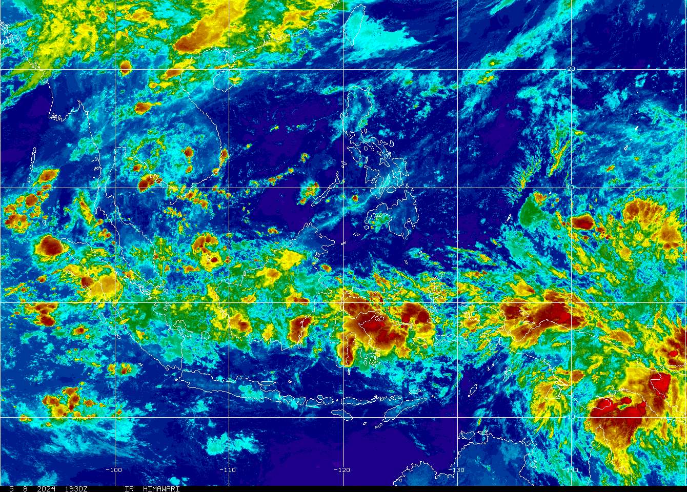            
|
366. Astrometeor
3:15 AM GMT on July 06, 2014
Quoting 354. Grothar: Hurricane 3 was pretty intense. Absolutely pulverizing South Florida and then going on to destroy Wilmington, NC? Nice. |
365. hurricanes2018
3:14 AM GMT on July 06, 2014364. DonnieBwkGA
3:13 AM GMT on July 06, 2014
Quoting 354. Grothar: Hey that was an active season for Georgia! |
363. sar2401
3:12 AM GMT on July 06, 2014
Quoting zampaz: Actually, more like Windows ME. I understand the alpha testing lab for the site consisted of a small boy and dog. The boy never liked it but the dog thought it was OK. |
362. sar2401
3:08 AM GMT on July 06, 2014
Quoting Climate175: Going to spend some quality time with the Almanac? Have a nice evening. |
361. oddspeed
3:06 AM GMT on July 06, 2014
sat from http://www.jma.go.jp 
|
360. sar2401
3:06 AM GMT on July 06, 2014
Quoting Climate175: There has to be vorticity in order to have a low. Vorticity doesn't mean it's a tropical cyclone, it means it's a low. Vorticity doesn't even mean it's a possible tropical cyclone. It just means it's a low. They form all the time and don't become anything more than a low. This one will travel north with the front for the next 4 days or so before it heads off into the Atlantic. Do I know that for sure? No, but it's the best forecast based on the data we have now. It's worth keeping an eye on but that's about it for now. |
359. Climate175
3:04 AM GMT on July 06, 2014| FOREX check your wundermail if your still here. Otherwise i am out, discussion over. |
358. sar2401
3:02 AM GMT on July 06, 2014
Quoting TheDawnAwakening: But that's why it doesn't need to be highlighted. Unless the NHC thinks there's any kind of reasonable chance, even a remotely reasonable chance, of development, they aren't going to circle the area. Just because we're interested in the area doesn't mean it's an area of interest to the NHC. |
357. Climate175
3:02 AM GMT on July 06, 2014
Quoting 355. TheDawnAwakening:Exactly ! My point proven. |
356. hydrus
3:02 AM GMT on July 06, 2014
Quoting 354. Grothar:and i thought 2005 wuz bad..:) |
355. TheDawnAwakening
3:00 AM GMT on July 06, 2014
Quoting 348. Climate175: Actually 850mb vorticity exists in that region already, so I don't know what you are looking at. |
354. Grothar
2:59 AM GMT on July 06, 2014| The entire 1914 Hurricane Season. Please watch the whole thing. |
353. sar2401
2:59 AM GMT on July 06, 2014
Quoting Astrometeor: LOL. I forgot about that scene. Definitely the best of that whole series. :-) |
352. TheDawnAwakening
2:58 AM GMT on July 06, 2014
Quoting 339. Tazmanian: In my opinion Taz it does eventually need to be highlighted. Forecast models show shear decreasing in this region as an anticyclone develops in the region once the upper level trough moves through the western Atlantic Ocean. However as previous posters have stated, this system won't hit land as northeast flow will push it out to sea as next trough enters the southeastern US by Wednesday or Thursday. |
351. AussieStorm
2:56 AM GMT on July 06, 2014
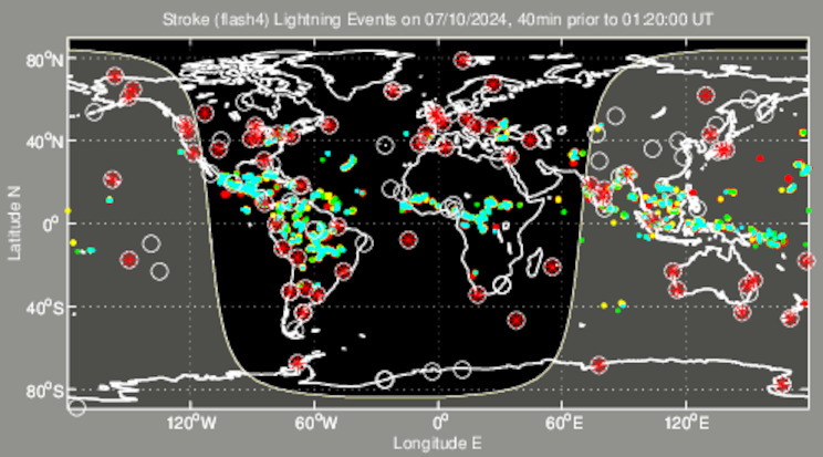
Quoting pablosyn: Lightning in the outer bands of Neoguri, also a few in the eye. 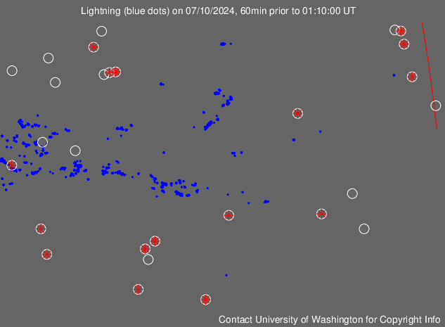
|
350. HurricaneAndre
2:53 AM GMT on July 06, 2014|
6.8075Arthur's ACE |
349. AussieStorm
2:51 AM GMT on July 06, 2014
 Reid Wiseman @astro_reid 4hrs ago #Typhoon Neoguri nearing Japan. Takes up our entire view. Wow. |
348. Climate175
2:51 AM GMT on July 06, 2014
 Quoting 344. Grothar:I agree no vorticy. |
347. Astrometeor
2:50 AM GMT on July 06, 2014
Quoting 340. Danali: I've wondered about why they site the weather underground graphic. I mean....they own this site, lol. I wonder if that was bargained for in the purchase of WU, so to bring more people here rather than to weather.com or what. |
346. pablosyn
2:48 AM GMT on July 06, 2014| Eyewall Replacement Cyclone on Neoguri? : / |
345. Climate175
2:46 AM GMT on July 06, 2014| Blog a little moody i see tonight, i just said i saw some rotation but that does not mean it is going to develop. As NC pointed out some want to be the know it all of the blog and you do realize you are not going to be right all the time, (ahem, you know who you are). This is not directed at you FOREX. |
344. Grothar
2:44 AM GMT on July 06, 2014|
No blob declaration. No vorticy. Pressures remain on the high side. Just your typical summer oceanic flare-up. But to quote those famous words....................But things could change 
|
343. FOREX
2:43 AM GMT on July 06, 2014| Climate175, I'm watching the BOC also. Very persistent lately. |
342. Tazmanian
2:43 AM GMT on July 06, 2014
Quoting 340. Danali: DOOM |
341. zampaz
2:42 AM GMT on July 06, 2014
Quoting 323. sar2401: Har har har har. Not a bug, it's a feature. The new design reminds me of Windows 8. -back to lurking |
340. Danali
2:42 AM GMT on July 06, 2014|
What does this mean for Japan? (And how funny that the weather channel is using (and citing) the weather underground graphic) |
339. Tazmanian
2:41 AM GMT on July 06, 2014
Quoting 334. FOREX: he thinks ever thing he seee out there needs some in high lighted not long a go he was saying the BOC needed two be high lighted now he says the area off the FL cost needs two be high lighted wish it dos not |
338. FOREX
2:41 AM GMT on July 06, 2014
Quoting 336. Climate175: Was just messin' with ya.lol |
337. Tazmanian
2:38 AM GMT on July 06, 2014
Quoting 332. FOREX: is that how Arthur started out with sky high pressures |
336. Climate175
2:37 AM GMT on July 06, 2014
Quoting 333. FOREX:Hmm..... |
335. Gearsts
2:37 AM GMT on July 06, 2014
Quoting 311. CybrTeddy:I wonder how last year was at this time with the shear. |

334. FOREX
2:37 AM GMT on July 06, 2014
Quoting 326. HurricaneAndre: No circle needed. By morning it will begin dissipating. |
333. FOREX
2:35 AM GMT on July 06, 2014
Quoting 331. Climate175: No rotation. Arthur still in your system. |
332. FOREX
2:33 AM GMT on July 06, 2014
Quoting 329. hurricanes2018: Pressures are sky high. Nothing forming. |
331. Climate175
2:29 AM GMT on July 06, 2014
Quoting 330. DonnieBwkGA:I see some rotation. |
330. DonnieBwkGA
2:27 AM GMT on July 06, 2014|
Hey it's my doomsquall! |
329. hurricanes2018
2:21 AM GMT on July 06, 2014
 big t.storms off the south coast!! need to be watch! big t.storms off the south coast!! need to be watch!
|
328. Tazmanian
2:20 AM GMT on July 06, 2014
Quoting 326. HurricaneAndre: no they dont that low is in high wind shear nothing is going too happen from now two late july or AUGS or mid AUG you need too stop pointing out stuff that they need two high light when you no vary well nothing will happen thanks two high wind shear |
327. Astrometeor
2:17 AM GMT on July 06, 2014
Quoting 323. sar2401: "User friendly" 
|
326. HurricaneAndre
2:16 AM GMT on July 06, 2014| That se coast low looks to be developing. They need to circle this. |
325. sar2401
2:08 AM GMT on July 06, 2014
Quoting Grothar: Only one hurricane hit Florida? Not much of a season. :-) |
324. Climate175
2:07 AM GMT on July 06, 2014
 If Grothar approves. If Grothar approves.
|
323. sar2401
2:03 AM GMT on July 06, 2014
Quoting nwobilderburg: Yes, there are. These extreme totals are clearly coming from some kind of clutter issues with the radar that WU translates into rainfall. One of the things to remember is that WU is not the NWS, and they sometimes don't agree. I was kind of hoping we might get some back end upgrades to the radars but that doesn't seem to have happened. All we got was our new, user friendly site instead... |
322. sar2401
1:59 AM GMT on July 06, 2014
Quoting DonnieBwkGA: Does Scott have a rain gauge? |