Published: July 29,2016
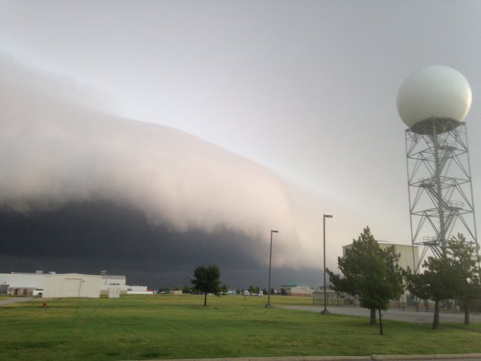
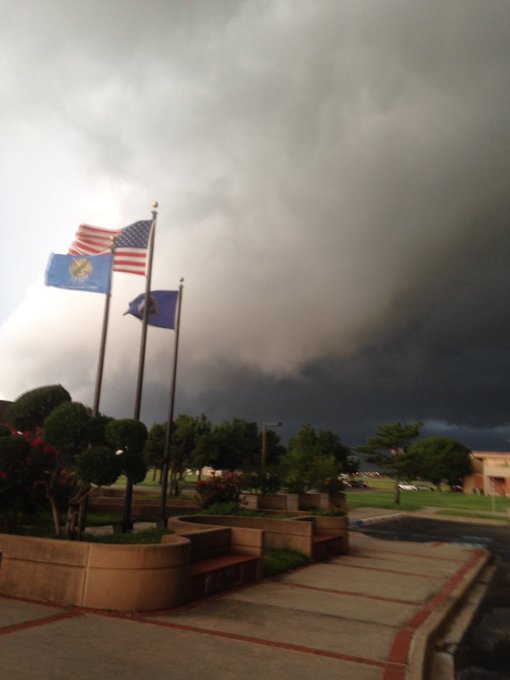
 A shelf clouds surges through Norman, Oklahoma, just before 7 a.m. CDT, Friday, July 29, 2016.
(Rick Smith)
Early Friday, a complex of thunderstorms surged southward from southern Kansas into the Sooner State. Cooler air rushing from the downdrafts of the thunderstorms surged at least 20 miles ahead of the squall line, producing a rather distinct signature on Doppler radar from the National Weather Service in Norman.
(MORE: The Science of Shelf Clouds)
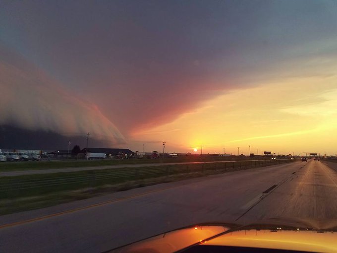
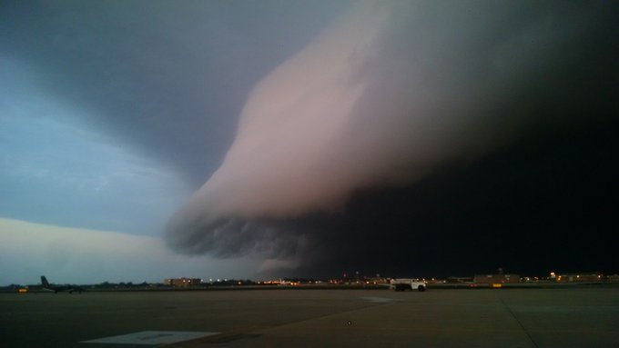
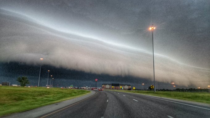
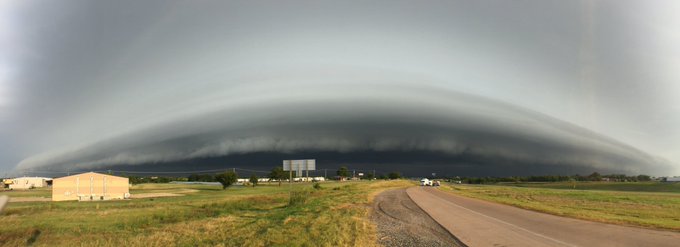
First, it was photographed by many in the Oklahoma City metro area.
An amazing shot of the shelf cloud through OKC at sunrise from David Bryant. #okwx
Thanks to our viewer Danny for this incredible shot of the shelf of the severe storm moving through #OKC! #okwx
Awesome shelf cloud this morning passing S Moore. #okwx #kocofirstalert @NWSNorman @KOCOBrad @koconews @AlonzoJAdams
So you just knew there would be photos galore from legions of weather geeks, including NWS-Norman Warning Coordination Meteorologist, Rick Smith (photo above).
Impressive shelf cloud approaching north Norman #okwx
(MORE: The Best Shelf Cloud Photos We've Seen in 2016)
While certainly scary-looking, they're simply an indication of strong thunderstorm winds following behind the shelf cloud, and are more common than they may appear.
The strong thunderstorm winds also triggered power outages in parts of the Sooner State.
(MORE: Enter Your Photo Into Our 2016 Photo Contest)
Jonathan Erdman is a senior meteorologist at weather.com and has been an incurable weather geek since a tornado narrowly missed his childhood home in Wisconsin at age 7.






No comments:
Post a Comment