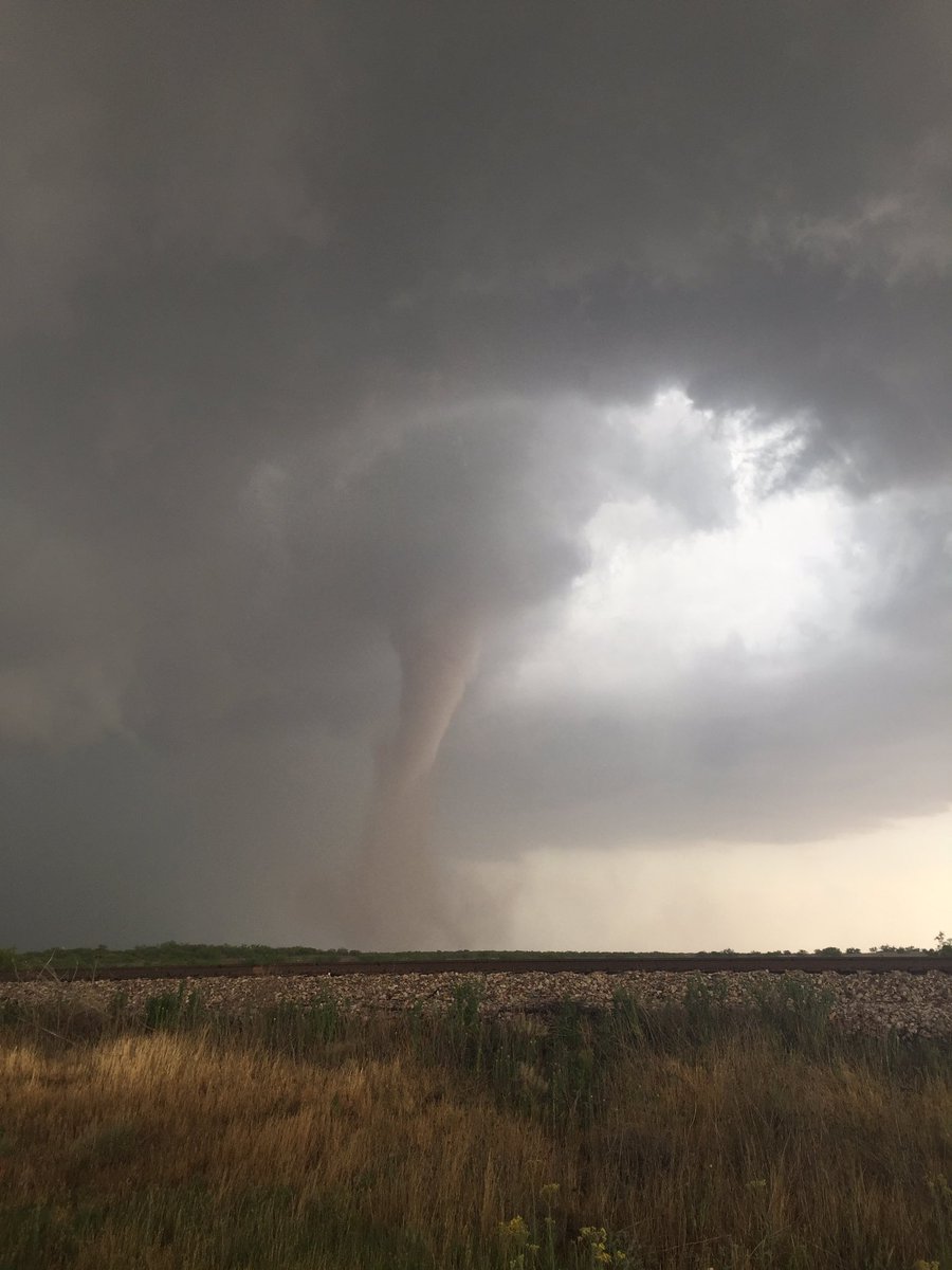
A multi-day severe weather threat that is taking aim on parts of the Plains, Midwest and South this week is well underway. Large hail, damaging wind gusts and some tornadoes will be possible each day through late-week. Clusters of thunderstorms could also cause some flash flooding.
NOAA's Storm Prediction Center has issued the following severe weather watches:
- A tornado watch valid until 10 p.m. CDT for portions of west Texas. This includes Abilene and San Angelo.
- A tornado watch valid until 10 p.m. CDT for portions of southwest Kansas, western Oklahoma and western North Texas. This includes Dodge City, Kansas.

Current Radar with Watches and Warnings

The rounds of thunderstorms throughout this week are being triggered by ripples of energy ejecting eastward from a southward dip in the jet stream across the West. That energy and its associated slow-moving frontal system is intercepting moisture from the Gulf of Mexico, allowing the thunderstorms to form.
Below is our latest forecast thinking on the timing and magnitude of this severe weather event throughout the next several days.
Severe Weather Forecast
Keep in mind that although our forecasts maps the next several days may show that a large area is at risk for severe weather, that not every single location will see damaging thunderstorms. Also, the magnitude of the severe weather threat and tornado potential may vary each day. Check back for updates.Monday
- Scattered severe thunderstorms are expected from parts of Minnesota and western Wisconsin southward to Oklahoma and Texas.
- Threats: Wind-damaging thunderstorms will be scattered over these areas. There also could be some spotty large hail and perhaps a few tornadoes. The greatest threat of tornadoes will be from western Kansas to western Oklahoma and west Texas.
- Cities: Minneapolis | Omaha | Kansas City | Wichita | Okla. City | Dallas

Monday's Thunderstorm Forecast
- Scattered severe thunderstorms are expected from Iowa and Nebraska southward to parts of Kansas, Missouri, Oklahoma and north Texas.
- Threats: Large hail, damaging wind gusts and a few tornadoes are all possible.
- Cities: Des Moines | Topeka | Tulsa | Wichita Falls, Texas

Tuesday's Thunderstorm Forecast
Wednesday
Tuesday's Thunderstorm Forecast
- The primary corridor for severe thunderstorm potential will exist from the eastern Plains into parts of Missouri, Illinois, and Arkansas.
- Threats: Damaging wind gusts, large hail and possible isolated tornadoes.
- Cities: Kansas City | St. Louis | Springfield, Illinois

Wednesday's Thunderstorm Forecast
- Once again, the Plains and South will be at risk for more severe thunderstorms. This includes parts of Kansas, western Missouri, Oklahoma, Texas and western Arkansas.
- Threats: Damaging wind gusts, large hail and possible isolated tornadoes.
- Cities: Dallas | Kansas City | Okla. City | Wichita

Thursday's Thunderstorm Forecast
Storm Reports
There were multiple reports of tornadoes Sunday evening across Texas, Kansas and South Dakota.A tornado touched down near Howardwick, Texas, and another tornado was spotted south of Interstate 20 near Big Springs, Texas. A large tornado near Waka, Texas, knocked down a quarter-mile row of power lines. In Kansas, a half-mile wide wedge tornado was reported near Lydia. No major damage has been reported in all of the areas mentioned above.
torn on ground south of I20 near Big Springs #txwx
Severe weather began late Saturday, but it was confined to parts of eastern Montana, western Kansas and western Texas. There was at least one tornado in Wichita County, Kansas, Saturday evening but no damage was reported.
Setup For Severe Weather

That weather pattern is on display through the week ahead.
A trough of low pressure aloft across the western U.S. will move very slowly eastward early this week. As disturbances swing around the base of the trough and eject eastward from the Rocky Mountains to the Plains, a surge of deep moisture will ride northward from the warm Gulf of Mexico.
Meanwhile, winds aloft (low level jet) coming out of the south will be increasing in intensity. This combination is an ideal recipe for severe thunderstorms to develop.
Snapped An Awesome Shot? Share Your Photo!
If you crave pictures of severe weather, you've found your home here. Upload your photos or video (taking care to only take photos and videos from a safe location) to us and share your experience!(PHOTO/VIDEO GALLERIES: Severe | Storms)
MORE: Plains Severe Weather - May 9, 2016 (Photo Gallery)


No comments:
Post a Comment