September 6,2013
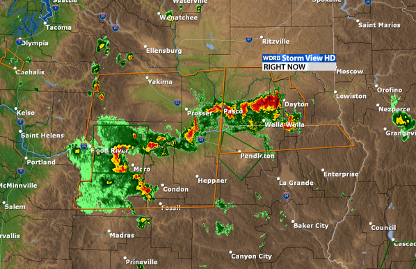
This radar image shows severe thunderstorms moving into southeast Washington. This image was taken approximately 8:25pm MDT.
Golf ball sized-hail fell in Oregon and Idaho. Gusty winds blew a chimney off of a house near Culver, Ore.
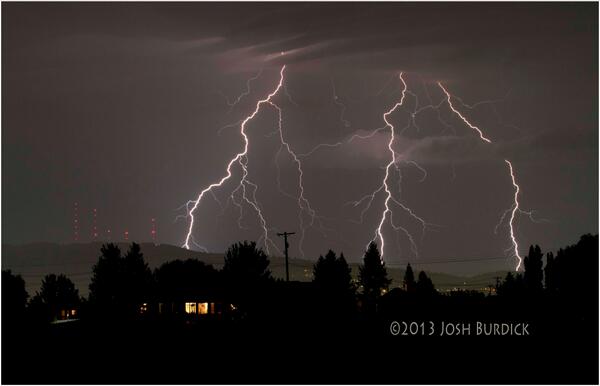
Two funnel clouds were spotted near Monteview, Idaho. In Denver, lightning delayed the NFL season opener between the Denver Broncos versus the Baltimore Ravens.
Below are reports of severe weather from throughout social media.
Severe Weather Strikes the Northwest
Michael Worth @K9NSP
.@NWSBoise Meridian #idwx We didn't measure, but it was easily an inch. Partially Melted in the hand of a 12 y/o pic.twitter.com/V7XcgCnwaa
Donald (Quiet Storm) @QuietStormOKC
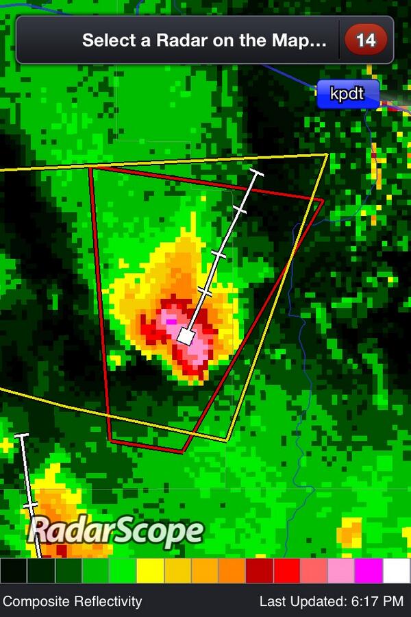
Tornado Warning for Clark County in ID until 6:15pm MDT. #idwx http://twitpic.com/dc4guw
Ed Sweeney @EasternChaser
Solid signature on the storm relative velocity scan on tornado warned storm in ID. #IDwx #tornadowarning pic.twitter.com/McQxvIiXHU
The Weather Channel ✔ @weatherchannel
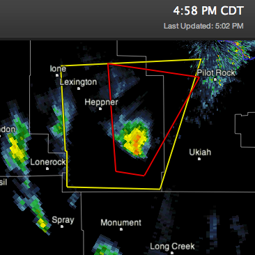
Tornado Warning for Morrow and Umatilla Counties in OR until 3:30 PM PDT http://www.weather.com/weather/alerts/localalerts/97818?phenomena=TO&significance=W&areaid=ORC059&office=KPDT&etn=0001 …


 Local Weather Alert for 97818


No comments:
Post a Comment