Published: December 6,2016
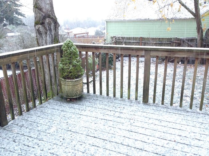
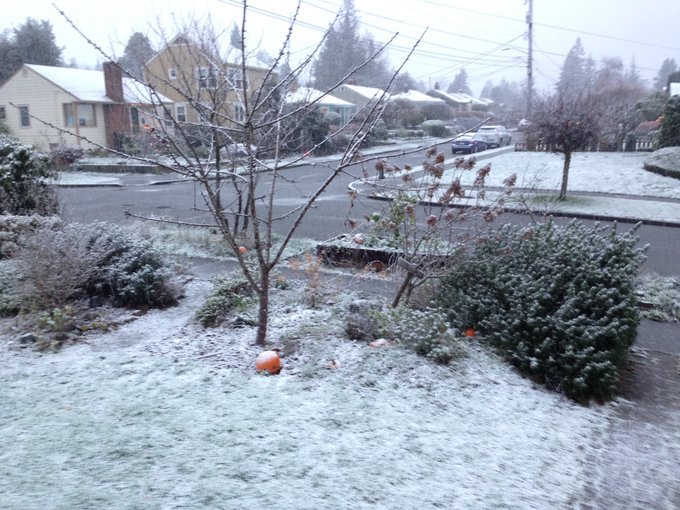
Parts of the Pacific Northwest's lower elevations, including the Seattle and Portland, Oregon, metro areas, saw a little snow Monday, and more snow is possible starting Wednesday night.
(INTERACTIVE: Current Radar | Road Conditions)
This is thanks to a plunge of the coldest air of the season, not only for the nation's mid-section and Rockies, but also bleeding into the Northwest.
(MORE: First Arctic Blast of the Season This Week)
Winter storm watches have been hoisted for parts of the Northwest, including Portland, Oregon, from late Wednesday night through Thursday afternoon. This means there is a potential for significant snow, sleet or ice accumulations that my impact travel.

Current Winter Weather Alerts
Late-Week Forecast
After a brief break, another Pacific frontal system Wednesday night into Thursday will kick off another barrage of precipitation.
Eastern Pacific Satellite, Pressure, Winds
Therefore, precipitation that falls Wednesday night into Thursday is likely to start out as snow, perhaps even a bit of freezing rain or sleet, over lower elevations of the Pacific Northwest.
(FORECAST: Seattle | Olympia, Washington | Portland, Oregon | Eugene, Oregon)
The critical uncertainty in this forecast, however, is when – or if – the subfreezing surface air near Puget Sound and the Willamette Valley gets scoured out.
The later that happens, or if it doesn't at all, the greater the snow and/or ice potential.
For now, an inch or two of snow seems likely to accumulate, leading to challenging travel along parts of the Interstate-5 corridor Thursday. But, there is potential for more snow and some ice accumulations in these lower elevations if the cold air lingers longer.

Total Snowfall Outlook Through Monday
(MAPS: 7-Day U.S. Rain/Snow Forecast)
With this persistently cold, stormy pattern, well over a foot of snow will blanket the Cascades and Siskiyous. Travel over the passes will become increasingly difficult by Thursday.
Incidentally, the last measurable snow at Seattle-Tacoma (Sea-Tac) International Airport was over two years ago, a 0.8-inch event on Nov. 29, 2014. For the last one-inch-plus snow event, there, you have to go back to Feb. 8, 2014, when 2.9 inches of snow fell.
On average, Sea-Tac picks up 5.6 inches of snow annually, with measurable (at least 0.1 inches) snow falling four days a year.
Check back with us at weather.com for any changes to this forecast.
Recap of System #1: Monday
The first system entered the West Coast on Monday morning, causing snow showers to fall around the Seattle metro area. No major accumulations were reported, but some locations saw a dusting. The official measurement at Seattle-Tacoma International Airport was a "trace."Farther south along Interstate 5, Chehalis, Washington, saw up to 2 inches of snow, while Portland, Oregon, recorded a mixture of rain and snow Monday morning.
Snow confirmed! We have snow in Seattle! 


A few lower elevations in eastern Washington picked up heavier snow. Ritzville measured 6.5 inches of snow, as of Tuesday morning.


No comments:
Post a Comment