By Heather Janssen, AccuWeather.com Staff Writer
November 21,2015; 10:19PM,EST
As of 8:35 p.m. CST Saturday, this blog is no longer live. Archived reports from the snowstorm can be found below.
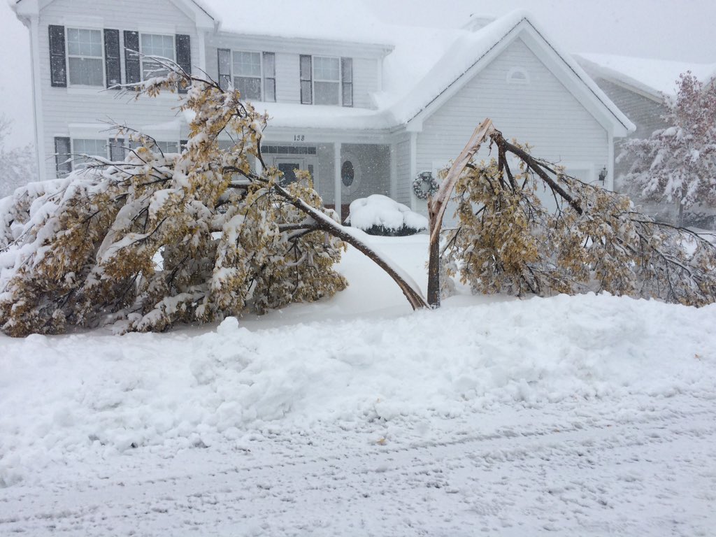
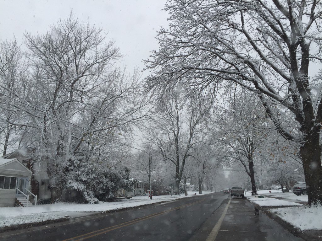
The first snowfall of the season for the Midwest will continue to impact travelers and weekend plans from Chicago to Detroit on Saturday.
Whiteouts, rapidly accumulating snow and falling temperatures will cause roads to become snow-covered and make travel extremely treacherous.
The intense snowfall is part of the storm that will produce a total of 6 to 12 inches of snow with locally higher amounts across northern Illinois and from northern Indiana to southern Lower Michigan.

RELATED:
Arctic Blast, Freeze-up to Follow Saturday's Midwest Snowstorm
AccuWeather Winter Weather Center
AccuWeather MinuteCast®
UPDATES: (All times are listed in CST)
8:07 p.m. CST Saturday: 4.8 inches of snow recorded at Detroit Metro Airport (DTW) by an NWS spotter. A ground stop program is no longer in effect, but delays continue for Chicago-bound flights, according to the FAA.
7:00 p.m CST Saturday: Latest snow totals from NWS Chicago:
"Snow fall rates in the heaviest band will reach 2 inches per hour. The snow will continue to taper off between now and 10:00 p.m. across the rest of metro Detroit and eastern Michigan."

5:15 p.m. CST Saturday: Additional Michigan snow totals reported by the NWS and trained spotters:
Michigan Snow Totals So Far
4:04 p.m. CST Saturday: Over 18 inches of snow have been reported in Boone County, Illinois, 16.9 inches in Lake County and as high as 12 inches in Cook County.
3:22 p.m. CST Saturday: "Snow is in the process of tapering off in Chicago," AccuWeather Meteorologist Frank Strait said. "Snow will be heavy for a while still in northwest Indiana, but bitterly cold air is moving in and slush or water on the roads will freeze solid tonight, making them very slippery."
2:04 p.m. CST Saturday: Snow falling in the downtown Chicago area.
1:13 p.m. CST Saturday: A band of heavy snow dropped two inches of snow in an hour at Chicago O'Hare International Airport and will reach downtown Chicago in 20-30 minutes with very hazardous travel.
1:04 p.m. CST Saturday: Whiteout snow band in Chicago currently extends from Evanston to Wheaton as it continues pressing southward and approaching I-55.
12:47 p.m. CST Saturday: Dangerous travel conditions on Interstate 90 at Arlington Heights, Illinois, as a band of heavy snow moves over the area.
 (Photo/Illinois Tollway)
12:31 p.m. CST Saturday: A band of heavy snow impacting areas north of the city of Chicago, including Chicago O'Hare International Airport. This band could produce whiteout conditions, dangerous travel and rapid accumulations.

12:17 p.m. CST Saturday:
11:58 a.m. CST Saturday: A NWS trained spotter reported 5.3 inches of snow non-paved surfaces around Kalamazoo, Michigan.
11:15 a.m. CST Saturday: Snow falling in the Milwaukee, Wisconsin, area.
 (Twitter Photo/@kcuttsjr)
11:01 a.m. CST Saturday: Royal Oak, Michigan, approximately 15 miles north of Detroit, Michigan, blanketed in snow.
Royal Oak right now in a blanket of white. Yes, I pulled over to take the pic! #snow #WinterWonderland
10:10 a.m. CST Saturday: For the latest forecast information on the snow falling across northern Illinois and Michigan, watch this video:


No comments:
Post a Comment