By Kevin Byrne, AccuWeather.com Staff Writer
November 17,2015; 11:03PM,EST
A powerful storm swept through the U.S. Plains Monday night into Tuesday spawning multiple tornadoes from Texas to Nebraska.
The same system spread snow and blizzard conditions across Colorado, forcing major travel delays on roadways and in the air. Some areas outside of Denver recorded up to 15 inches of snow on Tuesday morning.
"A large area of rain and thunderstorms will continue to slowly push eastward across the Mississippi Valley through tonight," AccuWeather Meteorologist Jordan Root said. "Wind gusts between 60 and 70 mph may accompany the thunderstorms along with very heavy rain that could lead to flooding."
There is also a tornado risk across the lower Mississippi Valley this evening, he added.
For storm reports from Monday night into early Tuesday morning, click here.

RELATED:
Blizzard to Bury Colorado, Nebraska and Kansas Early This Week
AccuWeather Winter Weather Center
The Difference Between Tornado Watches and Warnings
UPDATES: (All times are listed in CST)
10:03 p.m. CST Tuesday: Heavy rain and fog are occurring at Memphis International Airport where there are currently delays, the FAA reported.

9:58 p.m. CST Tuesday: About 6,300 Memphis Light, Gas and Water customers are without power due to storms, the utility reported.

9:54 p.m. CST Tuesday: 2.51 inches of rain in 3 hours at Tunica, Mississippi, MesoWest reports.
9:51 p.m. CST Tuesday: 1.69 inches of rain in 3 hours at Jennings, Louisiana, MesoWest reports.

9:44 p.m. CST Tuesday: Record rainfall occurred Tuesday in Little Rock, Arkansas.
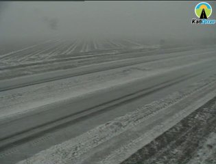
9:29 p.m. CST Tuesday: Snowy, windy travel on I-70 at Oakley, Kansas, KansasDOT webcam shows.

9:05 p.m. CST Tuesday: Interstate 70 is closed in part of Colorado to the Kansas state line.
8:57 p.m. CST Tuesday: Treacherous road conditions in Stockville, Nebraska.

7:29 p.m. CST Tuesday: Road closures reported in Oklahoma due to slippery travel and low visibility.
6:40 p.m. CST Tuesday: Flash flooding expected to increase around Memphis, Tennessee.
5:31 p.m. CST Tuesday: Torrential downpours have caused some roadway flooding across Missouri.
| City, State | Rainfall Total |
| Rolla, Missouri | 4.85" |
| West Plains, Missouri | 4.47" |
| Kaiser, Missouri | 4.29 |
| Columbia, Missouri | 3.87 |
| Jefferson City, Missouri | 3.69" |
4:31 p.m. CST Tuesday: Visibility is down to 100 yards in parts of northwest Kansas due to heavy, blowing snow, according to law enforcement.

3:55 p.m. CST Tuesday:
 Heavy rains brought significant flooding to Hendrix College in Conway, Arkansas. (Twitter Photo/@thirdcoast)
3:51 p.m. CST Tuesday: Flooding has caused road closures in Little Rock, Arkansas.

2:47 p.m. CST Tuesday: Road conditions are worsening across northwestern Kansas.
Conditions deteriorating across NWKS. View of I-70 at Colby. Check http://kandrive.org for road updates. #kswx
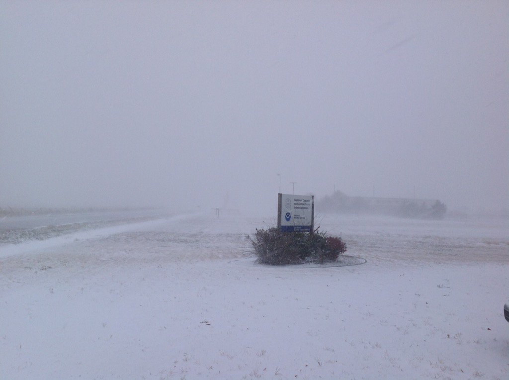
Blizzard conditions at Goodland: 53mph gusts and below 1/4 mile visibility in blowing snow. #kswx #blizzard2015


No comments:
Post a Comment