By Kevin Byrne, AccuWeather.com Staff Writer
May 31,2015; 11:45PM,EDT
As of 11:00 p.m. EDT, this blog is no longer active. Archived reports from the storm can be found below.
Heavy and gusty thunderstorms are threatening to cause damage and flooding across parts of the mid-Atlantic and into far southern New England, including the New York City area.
A widespread outbreak of violent thunderstorms is not unfolding, but a handful of strong thunderstorms are creating issues to close out Sunday.
The heaviest thunderstorms are producing blinding and flooding downpours, while some of the other stronger thunderstorms will unleash damaging winds and hail. An isolated tornado cannot be ruled out.
RELATED:
Heavy, Gusty Storms Threatening the Mid-Atlantic
Risk of Flooding From Missouri to Michigan
Map: Current Severe Weather Watches and Warnings
UPDATES: (All times are listed in EDT)
10:06 p.m. EDT Sunday: Storms cause delays at all New York City airports and at Philadelphia, the FAA said.
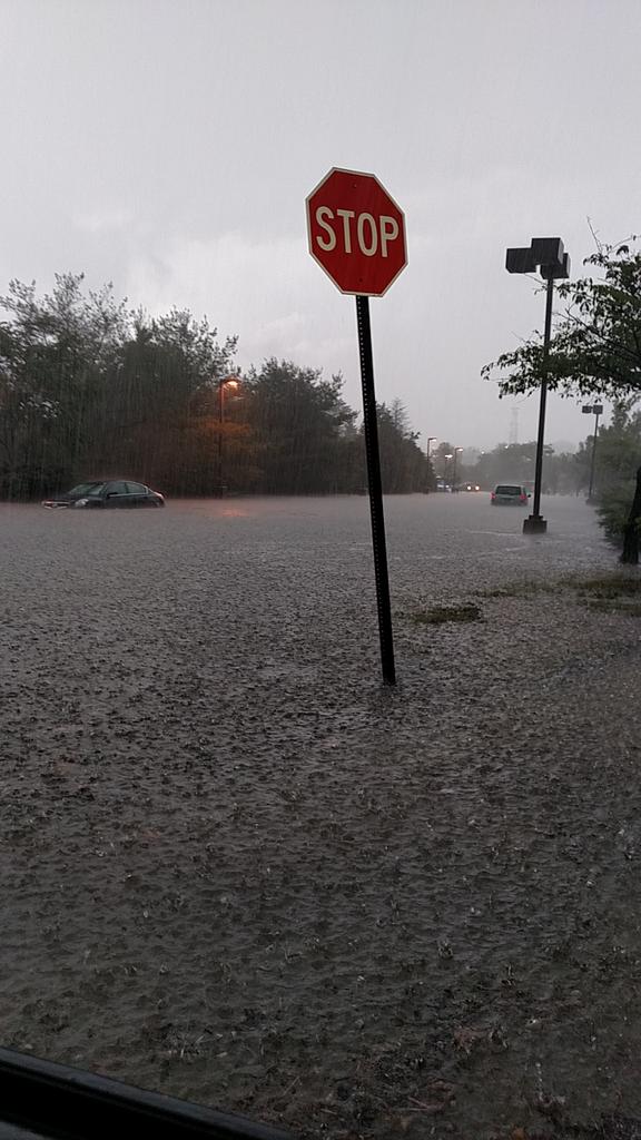
9:40 p.m. EDT Sunday: Cars stuck in high water on Route 22 in North Plainfield, New Jersey, 911 call center reports.
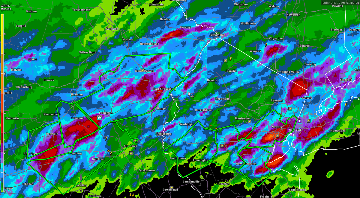
9:22 p.m. EDT Sunday: Rainfalls totaling more than 4 inches reported throughout many areas in eastern Pennsylvania and New Jersey.
Many areas of >4" rain tonight in E PA, NJ!
8:13 p.m. EDT Sunday: Street flooding in Clark, Pennsylvania.
8:03 p.m. EDT Sunday: A shelf cloud formed in Berks County, Pennsylvania this evening.
7:56 p.m. EDT Sunday: Flight delays remain in effect throughout the Northeast.
@NWS_MountHolly Sayreville NJ 7:00 pm
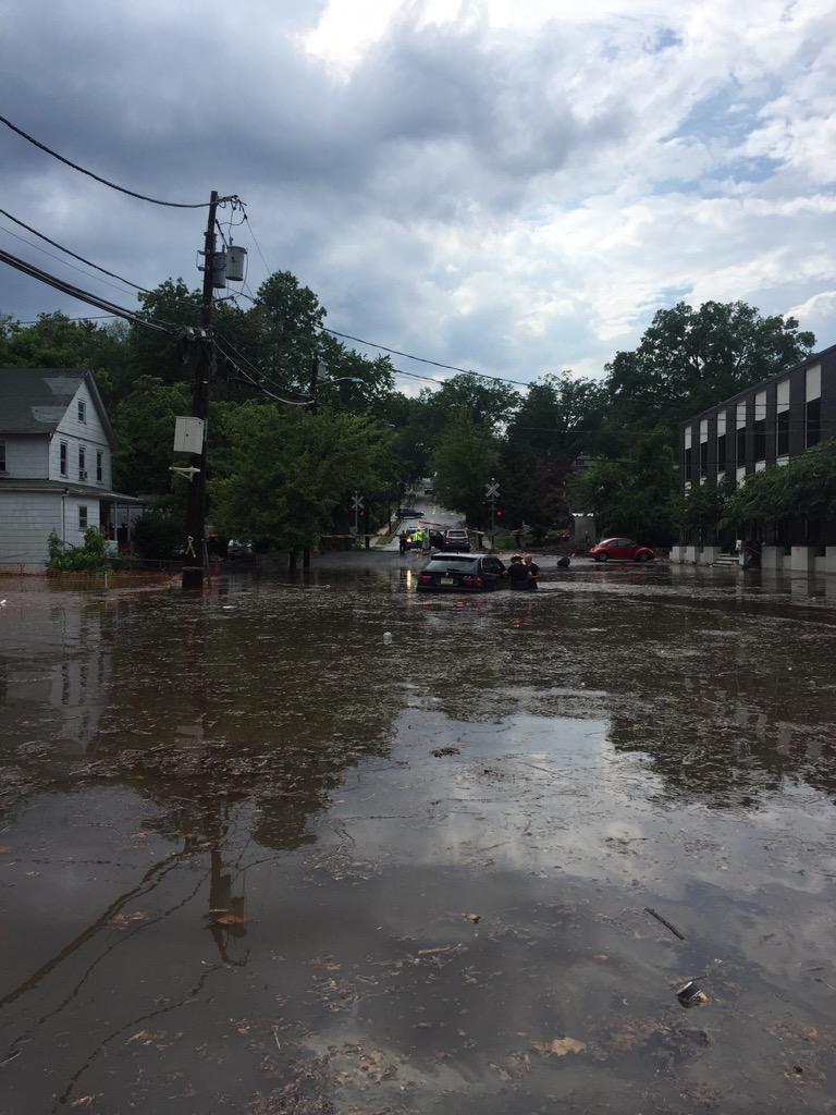
6:59 p.m. EDT Sunday: Motorists were stranded in flood waters in Emerson, New Jersey.
Great job EFD rescuing all the stranded motorists.
No sidewalks in sight at 9th and Madison by shop rite #Hoboken
5:43 p.m. EDT Sunday: New York City is now under a flash flood warning.


No comments:
Post a Comment