Published: April 15,2016
A stalled storm system is likely to produce several days of flooding rainfall over a broad swath of the Plains, in addition to a threat of severe thunderstorms from Nebraska to Texas.
In some parts of the High Plains, rainfall totals over a 4-5 day period from Friday through early next week could approach all-time monthly records for the month of April.
As of Friday night, 3 to 5 feet of water was inundating roadways between Stratton and Bethune, Colorado. By Friday afternoon, flooding was reported near Kit Carson, Colorado, where a creek was overrunning onto some roadways.
Flood Setup
When winds at jet-stream level don't simply flow generally west to east (in the northern hemisphere), but take large north-south (or south-north) meanders, weather systems producing rain or snow slow down. Upper-level
pattern forecast for Sunday, April 17, 2016, featuring an omega block
in the East, trapped low in the Rockies, and deep moisture into the
Plains states.
Upper-level
pattern forecast for Sunday, April 17, 2016, featuring an omega block
in the East, trapped low in the Rockies, and deep moisture into the
Plains states.(MET 101: "Omega Block" Brings Welcomed Warm-Up)
With high pressure both to the northwest and northeast of the stuck low, there's nowhere for the closed low to go fast.
On the east side of that swirling, slow-moving low, deep moisture will be in place from Texas as far north as the southern Canadian prairie.
In general, the slower the trapped upper low moves, the greater the potential for heavy rain over the same areas over multiple days.
This stagnant pattern with a deep plume of moisture in place is a prime setup for flooding rainfall, even despite parts of the Plains being rather dry, recently (more on that below).
Flood watches have been issued for periods of heavy rainfall for portions of the southern and central Plains from west and north-central Texas northward into central Kansas. The heavy rain may cause roads, as well as streams and rivers to flood, especially in flood prone areas.

Flood Alerts

Rainfall Outlook Through Tuesday Night
Parts of Nebraska, Kansas, Oklahoma and Texas could tally 5-8 inches of total rainfall over a 4-5 day period.
This would be on par with existing April, even May monthly precipitation records in North Platte, Nebraska, and could threaten some April, or even all-time three-day precipitation records in parts of western Kansas and southwest Nebraska.
| Monthly Precipitation Record (inches) | |
| April | 7.10 (1915) |
| May | 8.01 (1962) |
(FORECASTS: Okla. City | Dallas | Austin | San Antonio | Houston)
If that wasn't enough, a threat of some severe thunderstorms with large hail, damaging winds, and perhaps a few tornadoes will be in play in these areas.
(FORECAST: Severe Weather Threat Through Monday)
Heavy, wet snow will also pound parts of the High Plains and Rockies, with over a foot possible in some areas.
(FORECAST: An April Snowstorm Ahead)
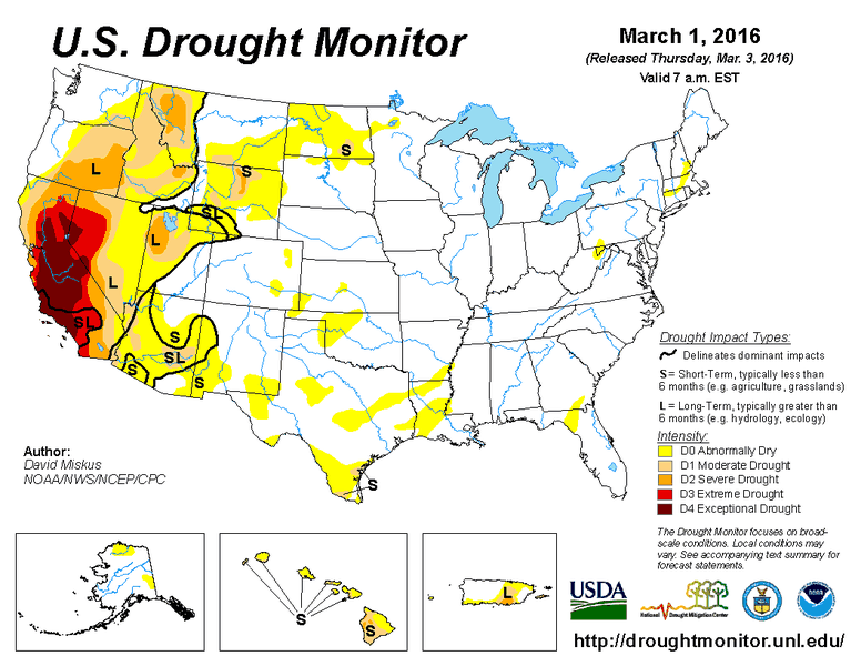 Drought
monitor animation from March 1 through April 5, 2016, illustrating the
developing drought (light tan contour) in the Plains.
Drought
monitor animation from March 1 through April 5, 2016, illustrating the
developing drought (light tan contour) in the Plains.Yet Another Bizarre Flip-Flop
Over the past several weeks, a flash drought, one which develops quickly, has spread across parts of the Plains states.Garden City, Kansas, hadn't seen any measurable rain or snow in over two months since Groundhog Day, until they picked up almost three-tenths of an inch of rain Monday.
The combination of this complete lack of precipitation with persistently warm and windy weather this spring has led to several large wildfires, including the largest fire on record in Kansas, hopping across the border from Oklahoma in late March.
(RECENT FIRES: Imagery of March Wildfire | Early April NW Oklahoma Fire)
Finally, a wetter pattern more typical of early spring will take shape, however, its extremely stagnant nature will lead to extreme precipitation totals in the High Plains, as we mentioned earlier.
Thanks to this sluggish, blocked pattern, Garden City, Kansas, could pick up perhaps twice the average April monthly precipitation, potentially even topping the average wettest month of the year, June.
No comments:
Post a Comment