A concentrated cluster of severe thunderstorms hammered parts of Illinois, Iowa and northeast Missouri with tornaodes, large hail, and damaging winds Tuesday and Tuesday night.
The Weather Channel severe weather expert, Dr. Greg Forbes, estimates 6 tornadoes may have touched down Tuesday afternoon and evening. National Weather Service storm surveys will confirm the actual number of tornadoes later Wednesday.
The National Weather Service has confirmed that an EF2 tornado touched down east of Moline, Illinois. At least 40 homes were damaged and 4 destroyed as it moved from southeast of Hampton to north-northeast of Rapids City. Estimated peak winds in the tornado were 130 mph.
 Reports
of tornadoes, thunderstorm winds or wind damage, and hail on Tuesday,
March 15, 2016. Note: Some hail reports plotted above are not officially
considered "severe hail" (less than 1 inch diameter).
Reports
of tornadoes, thunderstorm winds or wind damage, and hail on Tuesday,
March 15, 2016. Note: Some hail reports plotted above are not officially
considered "severe hail" (less than 1 inch diameter).(NOAA/NWS/SPC)
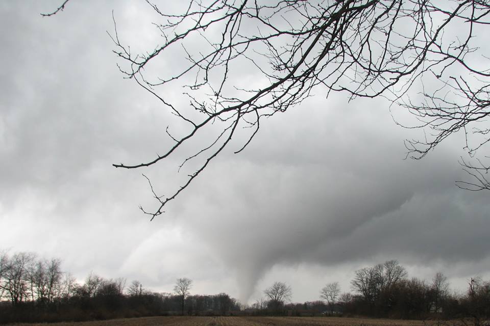
A #tornado touches down near Bushnell, #Illinoishttps://www.youtube.com/watch?v=boCbrJyF95k&index=1&list=PLNxwX7r4A5542uHdGhgHNxZnhMroN1pri …
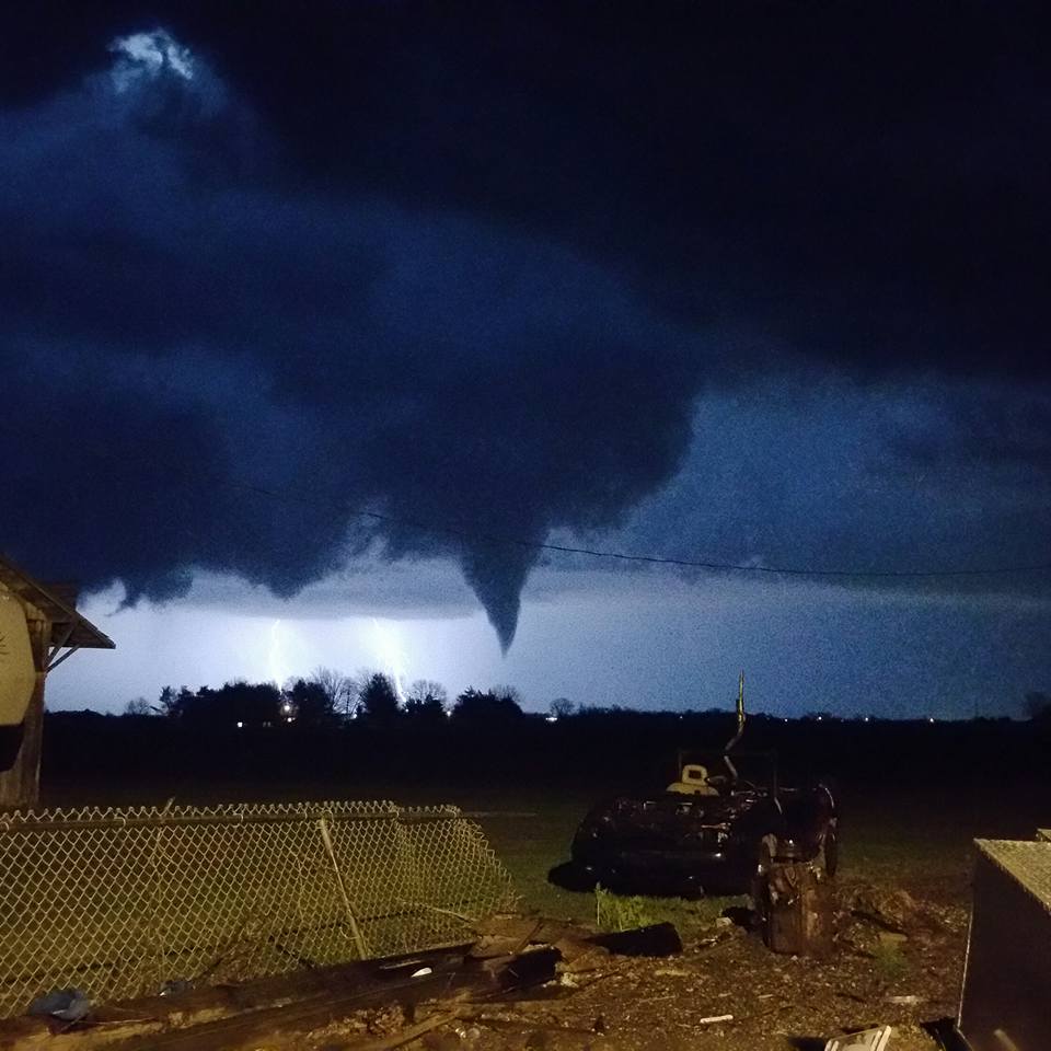
Another tornado was illuminated by lightning near Laomi, Illinois, and a funnel cloud was later sighted over the south side of Springfield, Illinois.
This was the tornado as seen from New Berlin today. Big thank you to MerryAnne Suttill for sharing.
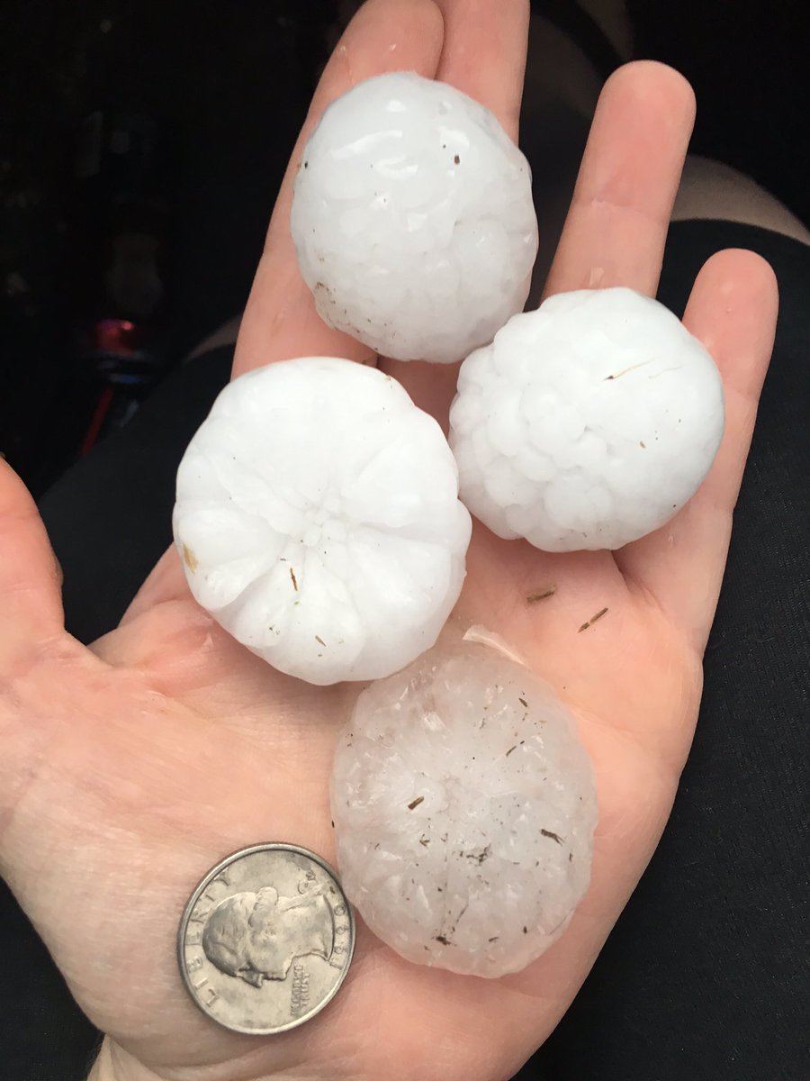
Hail near Forest Green @NWSQuadCities
Monday's Severe Storms
On Monday, at least four tornadoes were confirmed in Ohio, including near Phillipsburg, Arcanum, Wheatville, and Pitsburg.(MORE: Tornado Tears Roof Off Ohio Home)
Tornado touchdown at 2:17 PM near Phillipsburg, Ohio. Photo courtesy of Facebook user Joe Glasgow.
Wind damage was also reported Monday evening in Easley, South Carolina with trees and powerlines down. A tin roof was damaged in Pickens, South Carolina as well.
Sunday's Severe Storms
Severe thunderstorms struck central and southern Arkansas Sunday afternoon and evening, with several EF-1 tornadoes confirmed as of Monday evening including near Dermott, Lake Hinkle and Halley. Tornadoes were also reported near Dierks, Arkansas (brief rope), Strong, Arkansas (rope tornado), near Lexa, Arkansas, and in Marvell, Arkansas.Hail up to 3 inches in diameter was observed near Jessieville, Arkansas, and baseball size hail was spotted in Mount Ida, Arkansas. Flooding, with a report of a water rescue, also was reported on Sunday evening in Springfield, Missouri.
(MORE: Historic Flooding Slams South)
Snapped An Awesome Shot? Share Your Photo!
If you crave pictures of severe weather, you've found your home here. Upload your photos or video (taking care to only take photos and videos from a safe location) to us and share your experience!(PHOTO/VIDEO GALLERIES: Severe | Storms)


No comments:
Post a Comment