By Kevin Byrne, AccuWeather.com Staff Writer
July 1,2015; 10:18PM,EDT
Severe storms are threatening the Mississippi River Valley on Wednesday evening.
"The threat for tornadoes will continue across western and central Missouri through the first half of the night, especially between Kansas City and Jefferson City, south to Springfield and Rolla," AccuWeather Meteorologist Carl Erickson said. Large hail and damaging wind gusts are also the primary threats, he added.
The threat will shift from tornadoes to more of a flash flooding and damaging wind event late tonight into Thursday morning, as the storms move southeast into southern Missouri, northern Arkansas, southern Illinois and possibly into western parts of Kentucky and Tennessee, according to Erickson.
RELATED:
Flooding Downpours, Gusty Winds Aim for Mississippi and Tennessee Valleys Wednesday
AccuWeather Severe Weather Center
The Difference Between Tornado Watches and Warnings
UPDATES: (All times are listed in CDT)
9:43 p.m. CDT Wednesday: 35 roads closed due to flooding in Missouri, the Missouri Department of Transportation reported.
9:16 p.m. CDT Wednesday: Shelf cloud seen in Greenwood, Missouri.
@reedtimmerTVN From my porch in Greenwood, MO about an hour ago.
8:46 p.m. CDT Wednesday: A view of tornado-warned storm near Kansas City from Osage County, Kansas.
View of the Kansas City-area tornado-warned storm from 70 mi west in Osage County, KS @USWeatherExpert
8:27 p.m. CDT Wednesday: Numerous roads closed due to flash flooding in southern Pulaski County, Kentucky, according to the 911 call center.
8:14 p.m. CDT Wednesday: At 8:05 p.m. CDT, a tornado was confirmed between Highway 7 and Highway 58, southeast of Plesant Hill, Missouri.
8:08 p.m. CDT Wednesday: A rotating wall cloud near Plesant Hill, Missouri. Residents in the area need to take shelter immediately.
.@breakingweather mesocyclone /rotating wall cloud over Pleasant Hill, MO ~ radar site 15 min ago via @stormchasetv
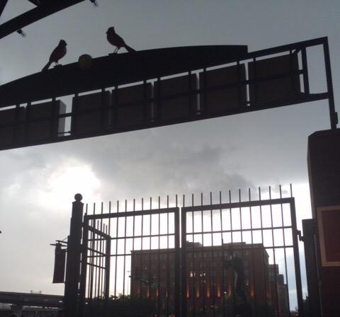
Unplayable weather and dark rain clouds continue to push in toward Busch Stadium from the West.
Here's a screen grab of the #tornado in Jackson County, MO just a few min ago. Ctsy of @41ActionNews (KSHB) #MOwx


No comments:
Post a Comment