By Mark Leberfinger, AccuWeather.com Staff Writer
March 25,2015; 10:52PM,EDT
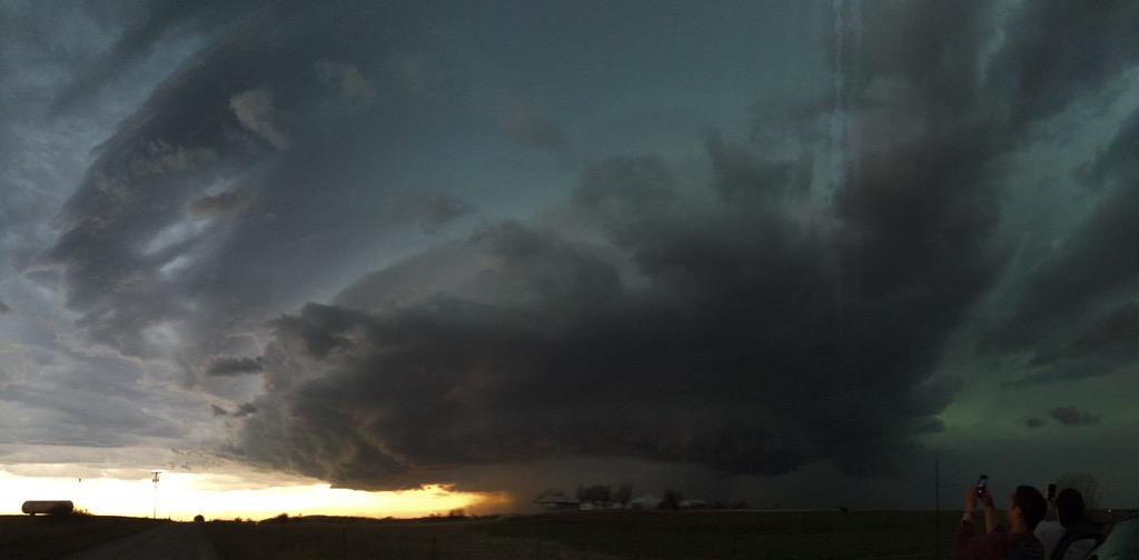
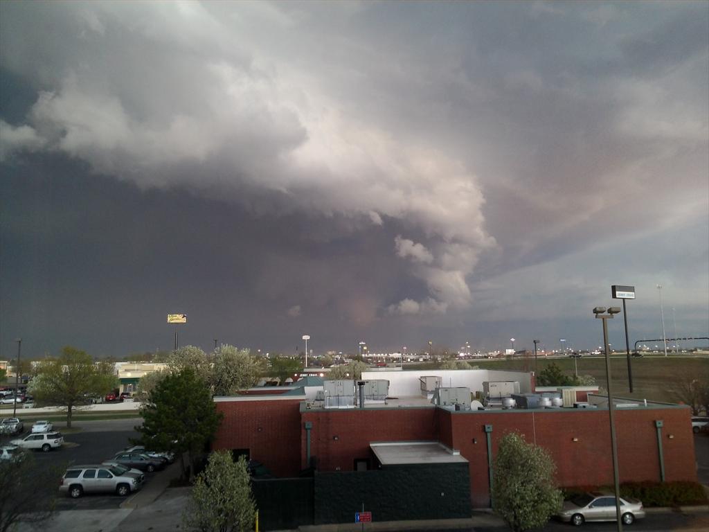
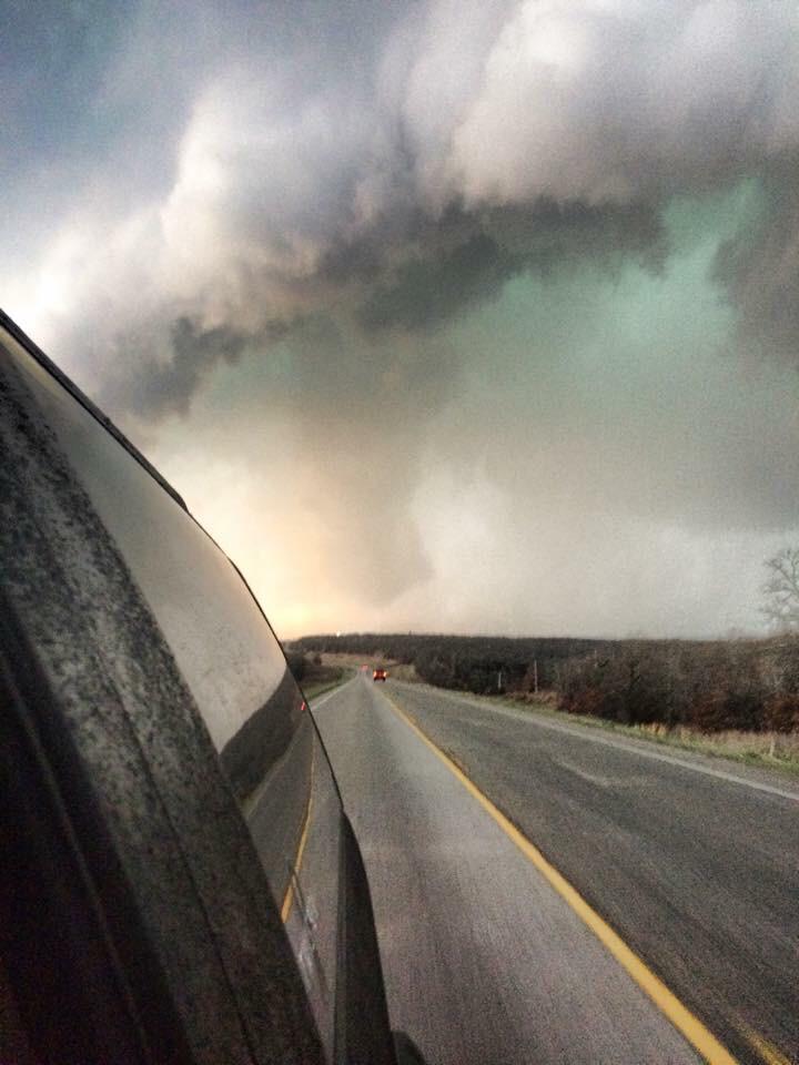
Severe storms continue to bring damaging winds, strong hail and isolated tornadoes to the southern Plains Wednesday night.
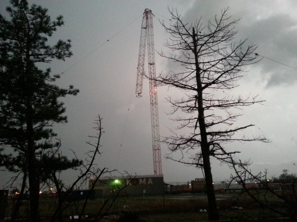
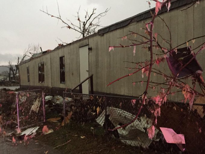
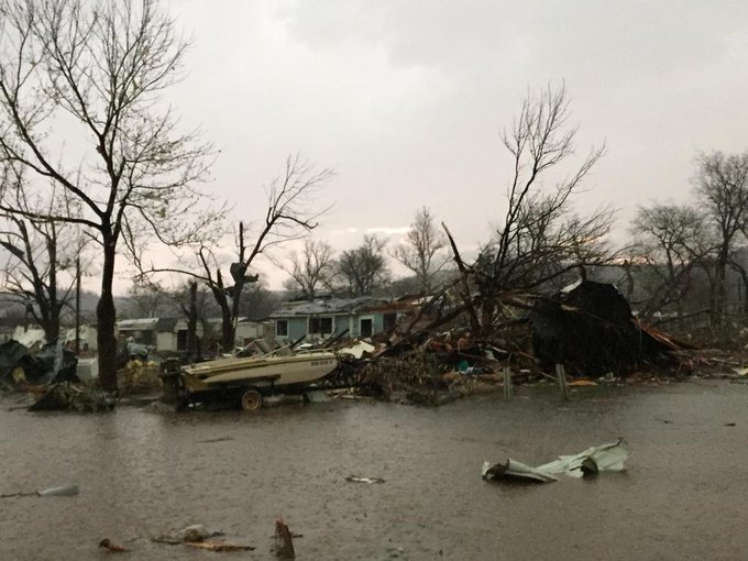
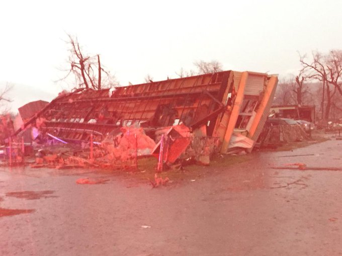
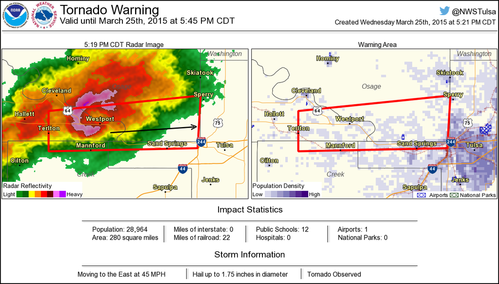
Several tornadoes have been reported to have touched down across areas of Arkansas and Oklahoma including Moore. One person died Wednesday after a storm hit a mobile home park near Sand Springs, Oklahoma, Tulsa County authorities told The Associated Press.
"A line of severe thunderstorms will continue to press eastward this evening across eastern Oklahoma, northwest Arkansas and southern Missouri," AccuWeather.com Meteorologist Andy Mussoline said.
McAlester, Oklahoma, and Fayetteville and Fort Smith, Arkansas, are among the cities at a more immediate threat over the next several hours.
"The most severe storms are now east of Oklahoma City and Tulsa, Oklahoma," Mussoline said.
Strong thunderstorms will continue to press toward Little Rock, not reaching the city until late Wednesday night. The severity of the storms will gradually diminish later Wednesday night, but gusty winds, hail and flash flooding will persist.
RELATED:
AccuWeather.com Severe Weather Center
Difference Between Tornado Watches and Warnings
Uptick in Severe Storms Imminent After Unusually Slow Start to Season
UPDATES: (All times are listed in CDT)
10:13 p.m. CDT Wednesday: One person died and more than seven people were injured after storms Wednesday night in the Tulsa and Oklahoma City areas, EMSA Oklahoma reported on its Facebook page.
10:02 p.m. CDT Wednesday:
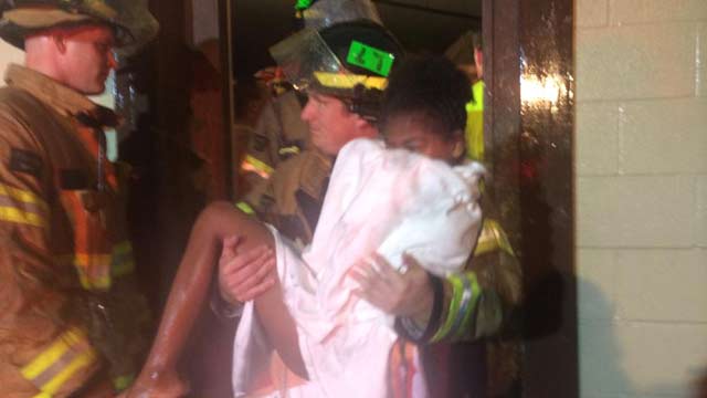
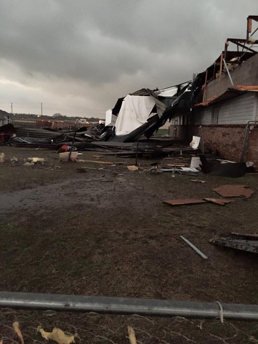
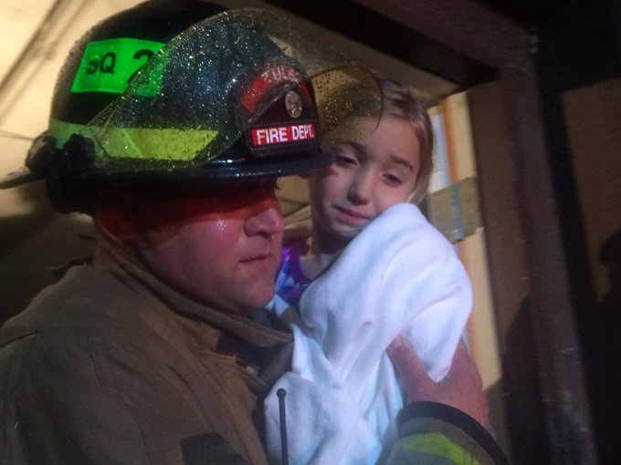
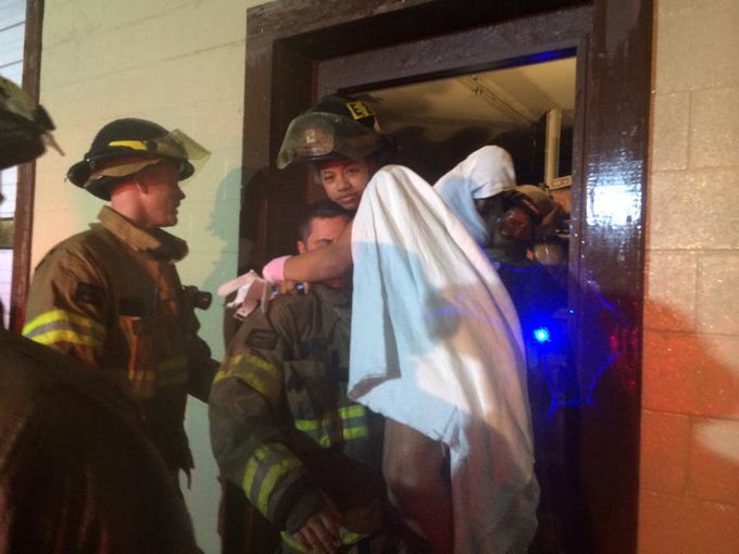
Firefighters show tremendous compassion after tornado destroys Sand Springs gymnastics studio. http://www.newson6.com/story/28617691/tornado-destroys-sand-springs-gymnastics-studio …
9:34 p.m. CDT Wednesday: Flash flooding occurring in Howell County, Missouri, the Missouri Department of Transportation reported.
9:30 p.m. CDT Wednesday:
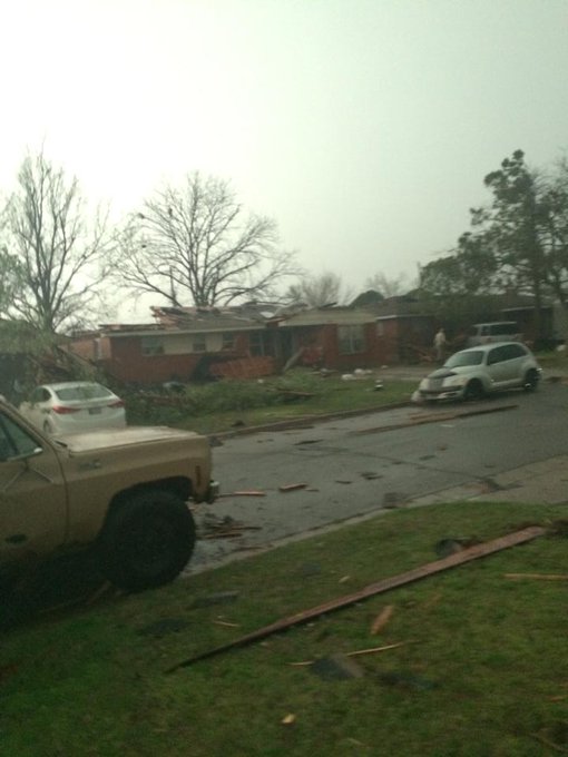
"Southgate Elementary was hit and it appears that the roof is gone and several homes in the area have also been hit. Administrators are walking the neighborhoods to check on the families to make sure that all are okay. Other buildings were hit but we do not know the extent of the damage at this point (most likely windows blown out, loss of electricity, and minor roof damage)," Romines said in a Facebook post.
9:14 p.m. CDT Wednesday: NWS Storm Prediction Center said it has received eight tornado reports from Arkansas and Oklahoma.
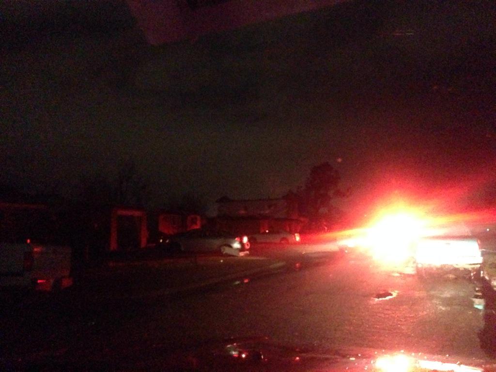
9:11 p.m. CDT Wednesday: Storm damage in Moore, Oklahoma.
#Firefighters carrying children from tornado-destroyed gymnastics studio in West #Tulsa. All 60 ppl are SAFE. #okwx
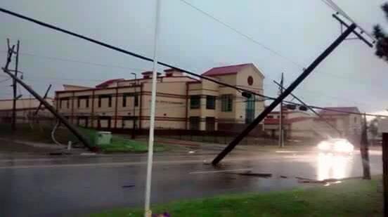
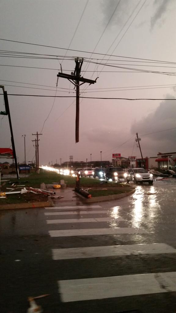
More than 36,700 Public Service Company of Oklahoma customers are without power, the utility reports.
8:35 p.m. CDT Wednesday:
One dead at Riverside Mobile home park in Sand Springs @KJRH2HD
7:45 p.m. CDT Wednesday:
7:36 p.m. CDT Wednesday:
Tornado reported near Peggs, Oklahoma, according to NWS.
7:15 p.m. CDT Wednesday:
Tornado Warned Cell Near Chouteau, OK* #tvnwx
6:05 p.m. CDT Wednesday:
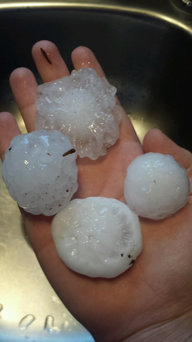
Golf balls 2 miles north of Luther OK! #OKWX @NWSNorman
Big hail in Payne Co. RT @CassieZrust: Hail in Stillwater. @JedCastles @LaceySwope @tornadopayne #okwx
#Tornado in Sand Springs, Oklahoma!!!! Tor already gone.
Debris indicated by radar west of Sand Springs, Oklahoma, according to NWS Norman.
5:37 p.m. CDT Wednesday:
Confirmed tornado near Westport. If you are in this tornado warning TAKE COVER NOW!!! #okwx















No comments:
Post a Comment