By Adam Douty, Meteorologist
May 10,2015; 10:39AM,EDT
Despite weakening significantly early this week, moisture from Super Typhoon Noul will move to the north causing heavy, tropical rainfall in central and southern Japan.
This tropical moisture will be pulled to the north along a cold front that will sweep across the country Monday and Tuesday. Several inches of rain, along with a gusty wind, will target areas from Kyushu and Shikoku Islands into Honshu. Far southern South Korea will also see the threat for heavy rain.
Noul has already brought flooding rain and damaging wind to the northern Philippines over the weekend.
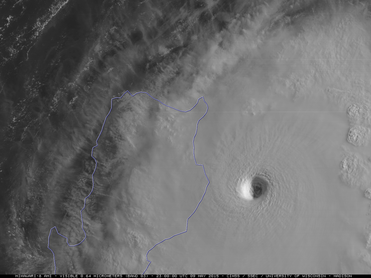
Super Typhoon Noul: Himawari-8 0.5-km res visible images at 2.5-min intervals: eye mesovorts http://go.wisc.edu/0ii0lk
Rain will begin to overspread Kyushu through the day on Monday, with rain then spreading into across Shikoku and southern Honshu Monday evening and night. Central and northern Japan will see rainfall on Tuesday and Tuesday night, though further to the north lighter rainfall is expected.

Rainfall will average 25-75 mm (1-3 inches) in many area across southern Japan and South Korea. Nagasaki, Osaka and Nagoya will be a few cities to see a soaking rainfall. Heavier rain will fall in the mountainous terrain with locally 150 mm (6 inches) of rain expected.
This rain will fall heavily and within a short period of time, so water will rapidly run off of mountains leading to a rapid rise in streams and rivers. Flash flooding is expected to threaten early this week.
RELATED:
Interactive Radar for Japan
Detailed Forecast for Tokyo
Western Pacific Typhoon Center
Tokyo will see some rain from Tuesday into Tuesday night, the steadiest of which will fall later in the day on Tuesday. Rainfall could be heavy for a brief time leading to travel delays in the sky and on the road. In addition to the rain, there will be breezy conditions with gusts as high as 50 mph near Tokyo Bay. Stronger gusts are expected east of the city, near the coast.
As rain spread to the north and east through Tuesday, areas that saw rain on Monday, such as Nagasaki, will dry out. High pressure building across the country will lead to a largely dry day on Wednesday, though a few showers will remain in the north.


No comments:
Post a Comment