By Kristina Pydynowski, Senior Meteorologist
May 10,2015; 11:46AM,EDT
After Saturday's violent thunderstorms, a new round of severe weather will threaten lives, property and Mother's Day festivities across the Plains on Sunday.
The majority of the thunderstorms that targeted central Texas and Oklahoma earlier Saturday morning unleashed torrential rainfall. Only a handful of thunderstorms turned severe with damaging winds and/or hail.

Now that the sun has had an opportunity to warm and destabilize the atmosphere, the number of severe thunderstorms will increase through Saturday afternoon from around Iowa and Missouri to northeastern Texas.
RELATED:
South Central Interactive Radar
AccuWeather Severe Weather Center
The Difference Between Tornado Watches and Warnings
The strongest thunderstorms on this Mother's Day will be capable of producing damaging winds, large hail, frequent lightning and blinding downpours. A couple of tornadoes will also touch down and cause destruction.
UPDATES: (All times are listed in CDT)
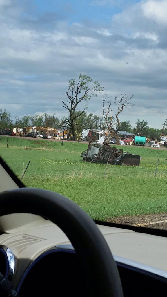
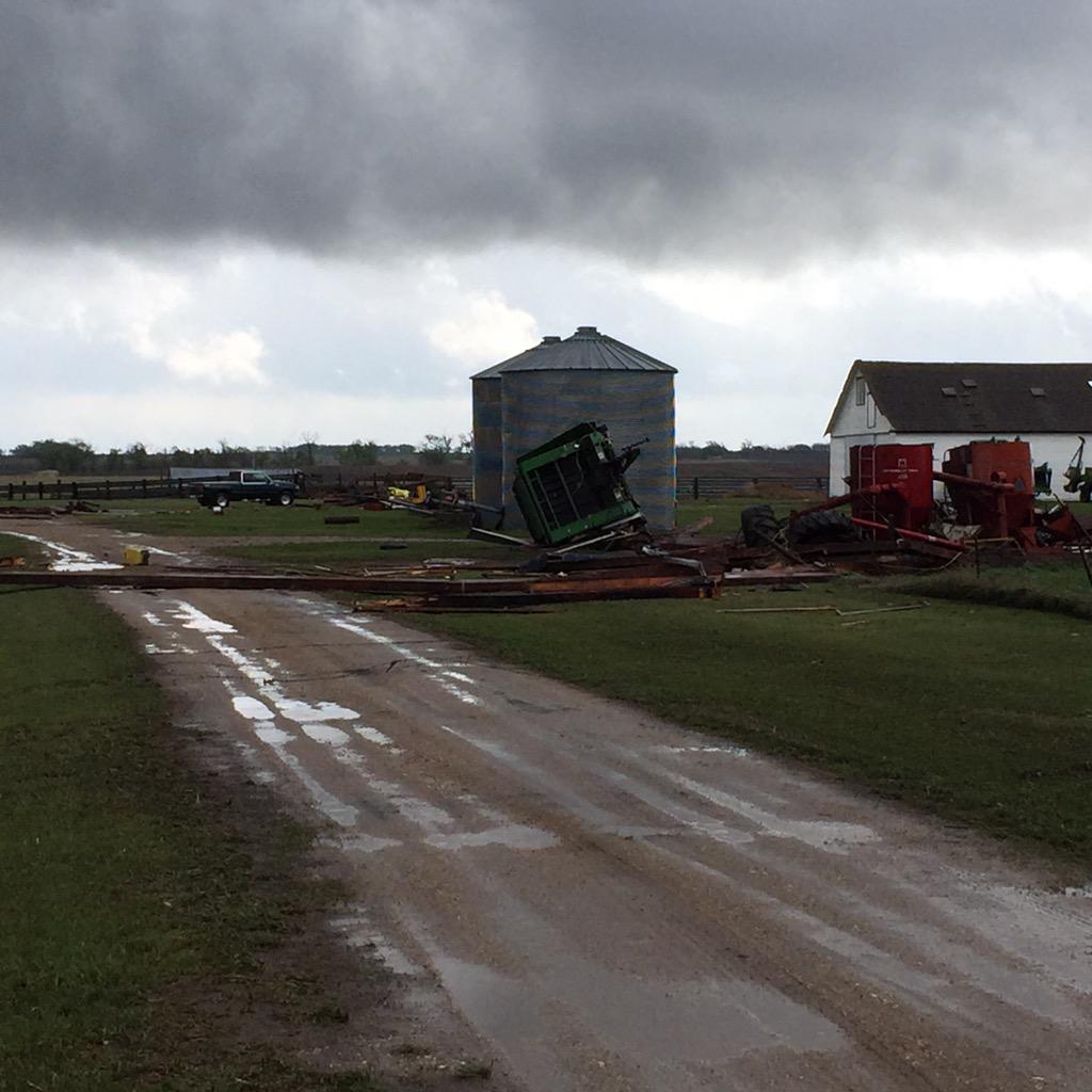
11:57 a.m. CDT: Damage from Delmont, South Dakota:
My aunt just posted these pictures on facebook. The Zion Lutheran church is just gone #Delmont @Argus911 @shawncable
11:35 a.m. CDT: A confirmed tornado is tracking toward Mitchell and Loomis, South Dakota.
11:17 a.m. CDT:
What a Mother's Day....tornado hit down just missed our home but hit my daughter in laws home in Delmont. 

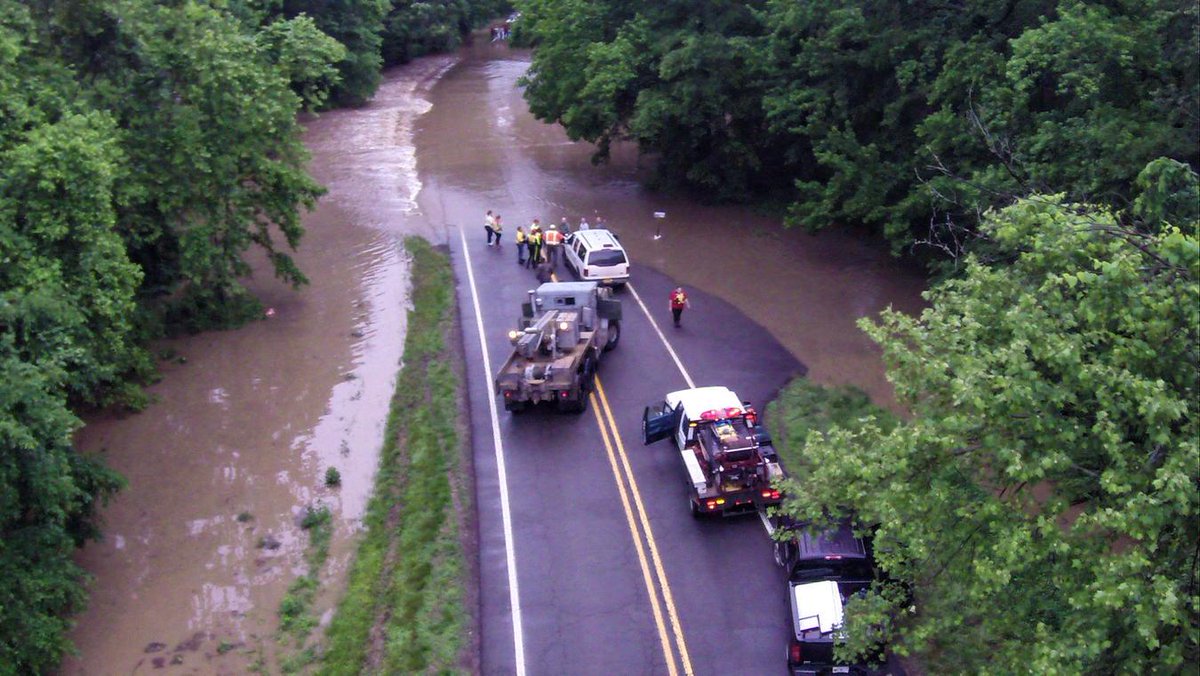
10:44 a.m. CDT: This is the scene along Pig Train Scenic Byway after drenching thunderstorms rolled through Saturday night. Impending heavy and severe thunderstorms will worsen the situation.
Water over the Pig Trail and emergency personnel on scene of water rescue. @KATV_Weather

10:21 a.m. CDT:
9:35 a.m. CDT: Violent thunderstorms are marching across eastern Oklahoma.

9:30 a.m. CDT: A tornado watch has been issued for eastern Oklahoma and western Arkansas until 4 p.m. CDT Sunday.
9:01 a.m. CDT: Forney and McLendon-Chisholm are among the eastern Dallas suburbs at risk for damaging winds from a thunderstorm.








No comments:
Post a Comment